
Stendaler Straße 8, human settlement in Germany
Location: Loitsche-Heinrichsberg
GPS coordinates: 52.29663,11.70101
Latest update: April 10, 2025 19:56
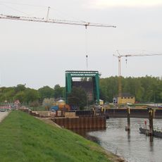
Schleuse Niegripp
5.9 km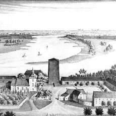
Rogätz Castle
4.6 km
Alte Schleuse Niegripp
4.8 km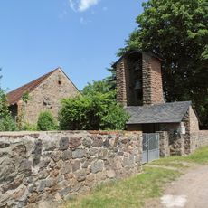
St. Nikolaus von der Flüe (Colbitz)
6.4 km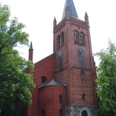
St. Paulus (Colbitz)
6.9 km
Taufwiesenberge
6.1 km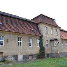
Neue Abtei
7.3 km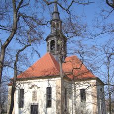
Dorfkirche Niegripp
5.1 km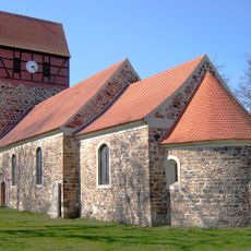
St. Sebastian (Schartau)
6.1 km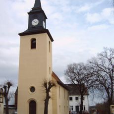
Protestant Church Glindenberg
6.7 km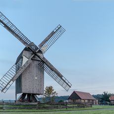
Windmill in Lindhorst
7.1 km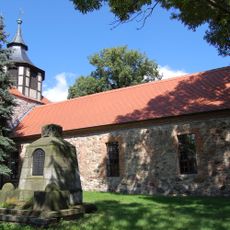
Dorfkirche Farsleben
3.8 km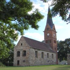
St. Nikolaus (Zielitz)
1.8 km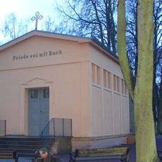
Friedhofskapelle Wolmirstedt
7 km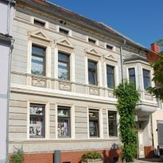
August-Bebel-Straße 20
7.3 km
August-Bebel-Straße 39
7.3 km
Pfarrhof Loitsche
78 m
Feierhalle Glindenberg
5.8 km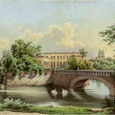
Schloss Angern
7 km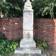
Kriegerdenkmal Heinrichsberg
3.6 km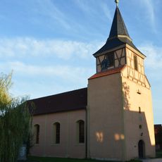
Dorfkirche Loitsche
61 m
Magdeburger Straße 8, 8a
232 m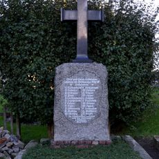
Kriegerdenkmal Loitsche
49 m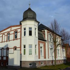
Breite Straße 44 (Glindenberg)
6.5 km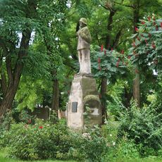
Kriegerdenkmal Niegripp
5.1 km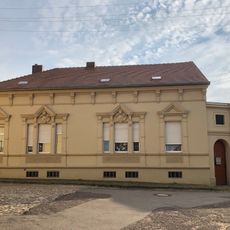
Rogätzer Straße 46
3.8 km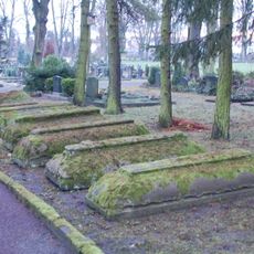
Grabdenkmale des Katharinenklosters Wolmirstedt
7 km
Farsleber Straße 15
7 kmReviews
Visited this place? Tap the stars to rate it and share your experience / photos with the community! Try now! You can cancel it anytime.
Discover hidden gems everywhere you go!
From secret cafés to breathtaking viewpoints, skip the crowded tourist spots and find places that match your style. Our app makes it easy with voice search, smart filtering, route optimization, and insider tips from travelers worldwide. Download now for the complete mobile experience.

A unique approach to discovering new places❞
— Le Figaro
All the places worth exploring❞
— France Info
A tailor-made excursion in just a few clicks❞
— 20 Minutes