
Teufelssattel, rock in Germany
Location: Edelsfeld
Elevation above the sea: 535 m
Length: 2 m
Width: 2 m
Website: http://www.umweltatlas.bayern.de/mapapps/resources/reports/geotope/generateBericht.pdf?additionallayerfieldvalue=371R045
GPS coordinates: 49.58259,11.73527
Latest update: October 15, 2025 21:42
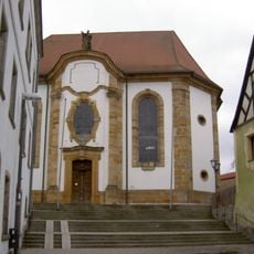
St. Ägidius
6.1 km
Schloss Heringnohe
5.6 km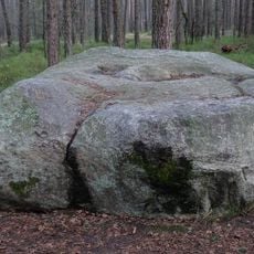
Teufelsstein (Hahnbach)
4.8 km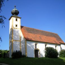
St. Vitus (Weißenberg)
742 m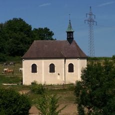
St. Otto
3.5 km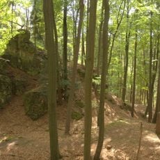
Burgstall Im alten Haus
5.9 km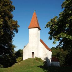
Simultankirche St. Joseph
3.3 km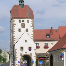
Vogelturm
6 km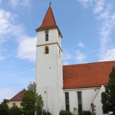
St. Stephan
2.9 km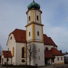
St. Stephanus
3.1 km
Appelshöhle (A 29) bei Vogelherd
5.9 km
Heilig Kreuz
4.7 km
St. Georg
4.9 km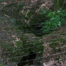
Cultural heritage D-3-6336-0006 in Grafenwöhr
5.8 km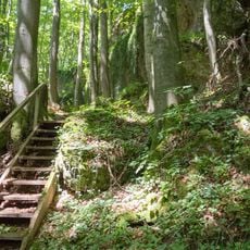
Breitenstein mit Steinberg
5.4 km
Cultural heritage D-3-6435-0100 in Neukirchen bei Sulzbach-Rosenberg
5.9 km
Nepomuk
6 km
Wohnhaus
6.1 km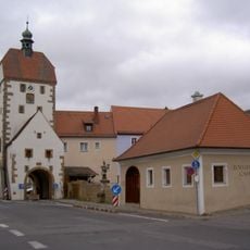
Zollhaus (Vilseck)
6 km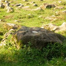
Kallmünzersteine (149 Exemplare) E von Fichtenhof
5.7 km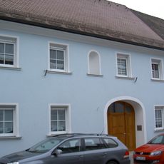
Ehemaliges Gasthaus
6.1 km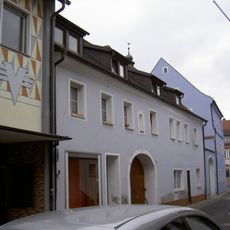
Vilseck Kirchgasse 2
6.1 km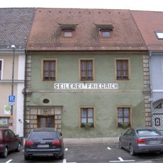
Wohnhaus
6 km
Vorstadttor, sogenanntes Hafnertor
5.9 km
Ehemaliges Ackerbürgerhaus
5.9 km
Ehemaliges Ackerbürgerhaus
6.1 km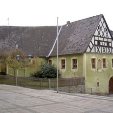
Frühmesshaus
6.1 km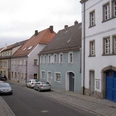
Gasthaus
6.1 kmReviews
Visited this place? Tap the stars to rate it and share your experience / photos with the community! Try now! You can cancel it anytime.
Discover hidden gems everywhere you go!
From secret cafés to breathtaking viewpoints, skip the crowded tourist spots and find places that match your style. Our app makes it easy with voice search, smart filtering, route optimization, and insider tips from travelers worldwide. Download now for the complete mobile experience.

A unique approach to discovering new places❞
— Le Figaro
All the places worth exploring❞
— France Info
A tailor-made excursion in just a few clicks❞
— 20 Minutes