
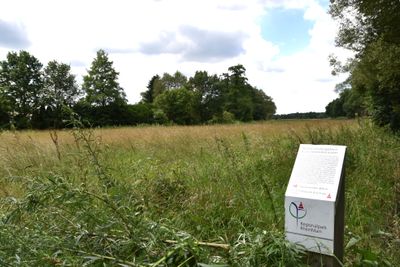
Kammereckswiesen und Herchwiesen von Langen, protected area in Germany
Location: Langen
Inception: 1935
GPS coordinates: 49.97514,8.65939
Latest update: March 5, 2025 16:07
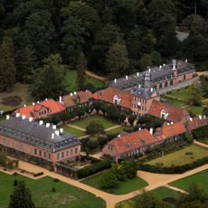
Schloß Wolfsgarten
1.6 km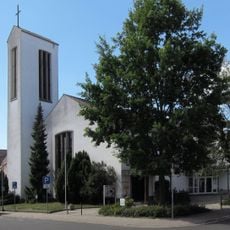
St. Josef
711 m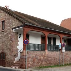
Ehemaliges Wachthaus
795 m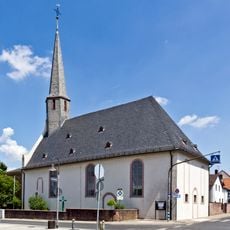
Evangelische Kirche Egelsbach
831 m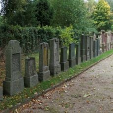
Jüdischer Friedhof (Egelsbach)
1 km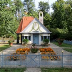
Princess Elisabeth of Hesse's Playhouse
1.6 km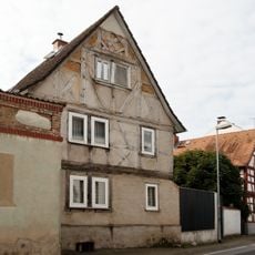
Haus Schulstraße 5
723 m
Haus Ernst-Ludwig-Straße 7
769 m
Haus Ernst-Ludwig-Straße 79
974 m
Haus Ernst-Ludwig-Straße 83
1 km
Haus Schulstraße 49
799 m
Ehem. Jüdischer Betsaal
875 m
Haus Ernst-Ludwig-Straße 89
1 km
Haus Ernst-Ludwig-Straße 76
940 m
Haus Schulstraße 1
730 m
Haus Weedstraße 2
840 m
Haus Ernst-Ludwig-Straße 65
908 m
Haus Im Strengen 1
736 m
Haus Ernst-Ludwig-Straße 10
743 m
Haus Ostendstraße 4A
1.1 km
Ehem. Synagoge
889 m
Haus Schulstraße 28
705 m
Haus Schulstraße 13
716 m
Haus Schulstraße 14
692 m
Haus Ernst-Ludwig-Straße 15
782 m
Haus Ostendstraße 1
1.1 km
Haus Ernst-Ludwig-Straße 66
892 m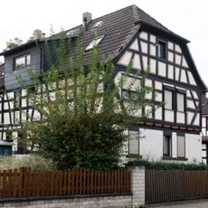
Haus Weedstraße 15
921 mVisited this place? Tap the stars to rate it and share your experience / photos with the community! Try now! You can cancel it anytime.
Discover hidden gems everywhere you go!
From secret cafés to breathtaking viewpoints, skip the crowded tourist spots and find places that match your style. Our app makes it easy with voice search, smart filtering, route optimization, and insider tips from travelers worldwide. Download now for the complete mobile experience.

A unique approach to discovering new places❞
— Le Figaro
All the places worth exploring❞
— France Info
A tailor-made excursion in just a few clicks❞
— 20 Minutes