
Kallenhardter Berg, hill in Germany
Location: North Rhine-Westphalia
GPS coordinates: 51.47298,8.43268
Latest update: June 11, 2025 06:32
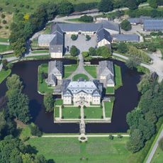
Schloss Körtlinghausen
2 km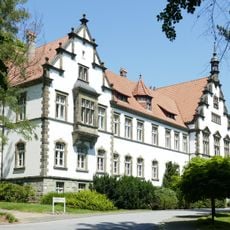
LWL-Klinik Warstein
5.5 km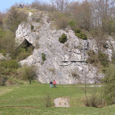
Hohler Stein
4.6 km
Kneblinghausen
5.4 km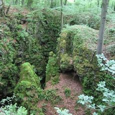
Oberhagen
5.5 km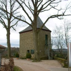
Rüthener Hexenturm
2.1 km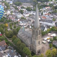
Stadtkirche St. Pankratius
6.5 km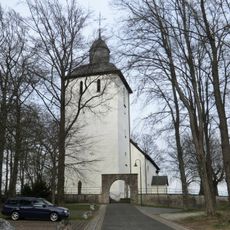
Alte Kirche St. Pankratius
6.3 km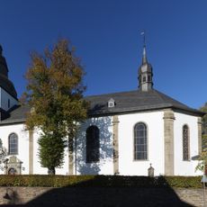
St. Pankratius
6.6 km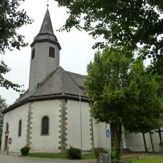
Saint Hubertus Church
5.2 km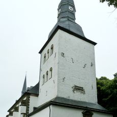
St. Gervasius und St. Protasius
3.1 km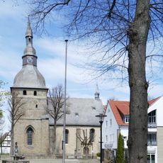
St. Nikolaus
2.1 km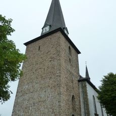
St. Clemens
2.3 km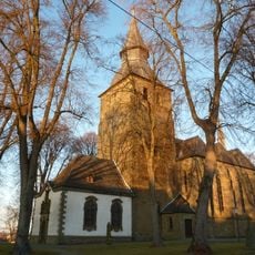
St. Johannes Baptist
2.2 km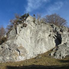
Hoher Stein (Kallenhardt)
4.5 km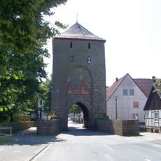
Hachtor (Rüthen)
2.3 km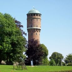
Wasserturm Rüthen
1.6 km
Lörmecketal
4.6 km
Liethöhle und Bachschwinden des Wäschebaches
5.6 km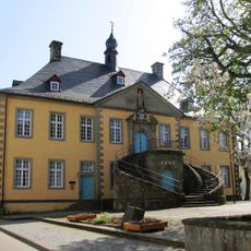
Altes Rathaus
2.1 km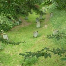
Jüdischer Friedhof
2.3 km
Saint Ursula Church
5.8 km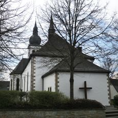
Church of the Beheading of St. John the Baptist, Suttrop
4.2 km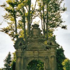
Friedhofsportal
2.2 km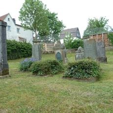
Jüdischer Friedhof
6.5 km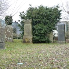
Jüdischer Friedhof
6.8 km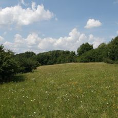
Kalkmagerrasen bei Rüthen-Meiste
5.5 km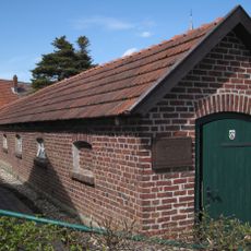
Alte Seilerei Hartmann
2.1 kmReviews
Visited this place? Tap the stars to rate it and share your experience / photos with the community! Try now! You can cancel it anytime.
Discover hidden gems everywhere you go!
From secret cafés to breathtaking viewpoints, skip the crowded tourist spots and find places that match your style. Our app makes it easy with voice search, smart filtering, route optimization, and insider tips from travelers worldwide. Download now for the complete mobile experience.

A unique approach to discovering new places❞
— Le Figaro
All the places worth exploring❞
— France Info
A tailor-made excursion in just a few clicks❞
— 20 Minutes