
Creglingen, human settlement in Germany
Location: Creglingen
Elevation above the sea: 278 m
GPS coordinates: 49.46835,10.03310
Latest update: June 11, 2025 01:43

Herrgottskirche
1.2 km
Jüdisches Museum Creglingen
173 m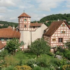
Romschlösschen
276 m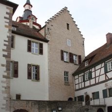
Schloss Creglingen
231 m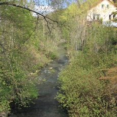
Kohlesmühle
992 m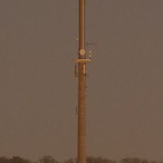
Sender Creglingen
587 m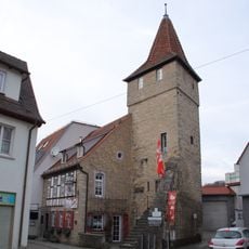
Synagoge
188 m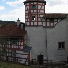
City fortifications of Creglingen
279 m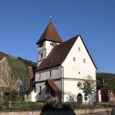
Evangelische Kirche
2.9 km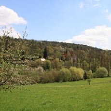
Herrgottskirche
1.1 km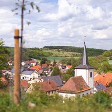
Evangelische Kirche
2.8 km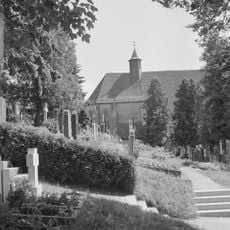
Friedhof
1.1 km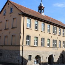
Rathaus Creglingen
215 m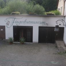
Fingerhutmuseum
1 km
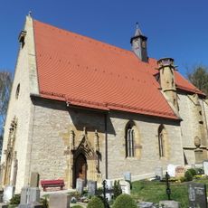
Evangelische Stadtkirche Peter und Paul
286 m
Feldgehölz am Signal Herrgottsfeld Pfad, Stutz
878 m
Flachmoor Engelshütte
3 km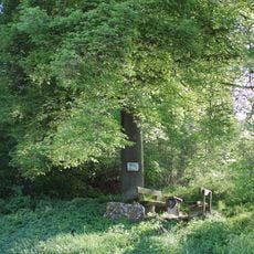
Linde und Rotbuche Burkel
2.9 km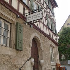
Stadtarchiv Creglingen, Stadt Creglingen
231 m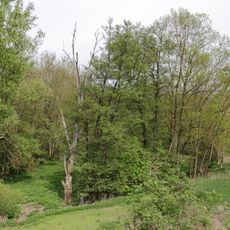
Altarm der Tauber Lachen
973 m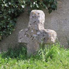
Sühnekreuz Creglingen I
1.1 km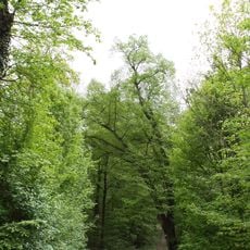
Winterlinde Bockstall
1.7 km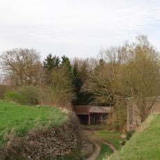
Steinbruch Aub
2.8 km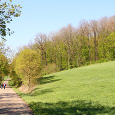
Pflanzenstandort Marterhölzle
3 km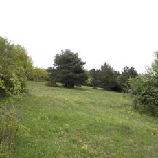
Heide am Barnberg
2.7 km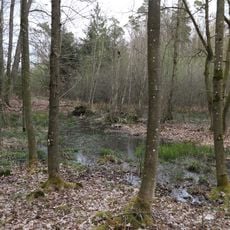
Feuchtgebiet Gemeindeholz
3 km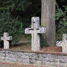
Steinkreuznest bei Münster
3.2 km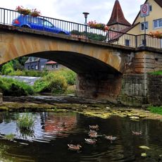
Tauberbrücke
239 mReviews
Visited this place? Tap the stars to rate it and share your experience / photos with the community! Try now! You can cancel it anytime.
Discover hidden gems everywhere you go!
From secret cafés to breathtaking viewpoints, skip the crowded tourist spots and find places that match your style. Our app makes it easy with voice search, smart filtering, route optimization, and insider tips from travelers worldwide. Download now for the complete mobile experience.

A unique approach to discovering new places❞
— Le Figaro
All the places worth exploring❞
— France Info
A tailor-made excursion in just a few clicks❞
— 20 Minutes