
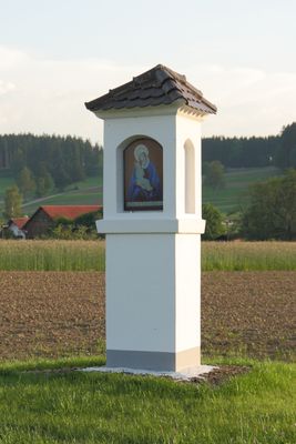
Bildstock 19. Jahrhundert, Bauwerk in Deutschland
Location: Aletshausen
Address: Am Sandweg
GPS coordinates: 48.18608,10.38657
Latest update: April 7, 2025 04:07
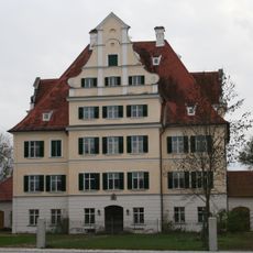
Schloss Niederraunau
4.2 km
Lourdesgrotte (Aletshausen)
1.3 km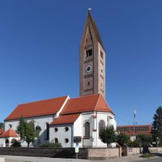
St. Johannes Baptist und Blasius (Loppenhausen)
2.8 km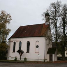
Ecce-Homo-Kapelle
3.9 km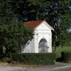
Feldkapelle
2.3 km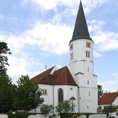
Heilig Kreuz (Aletshausen)
1.3 km
Kapelle St. Nikolaus
5.1 km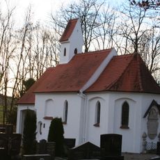
Friedhofskapelle St. Georg
3.1 km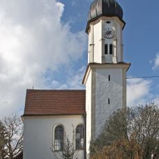
Kapelle Herz Jesu
3.8 km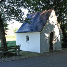
St. Maria
3.5 km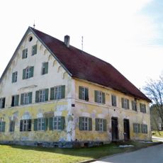
Mühle
3.9 km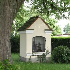
Bildstock 18. Jahrhundert
939 m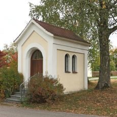
Marienkapelle (Winzer)
3 km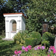
Bildstock
2.6 km
Schulstraße 26
1.7 km
Kirchenstraße 10 (Aletshausen)
1.3 km
Rathaus
4.2 km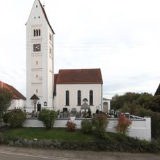
St. Michael
3 km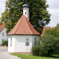
St. Franz Xaver
2.5 km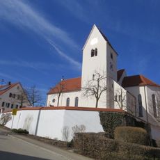
St. Georg
1.7 km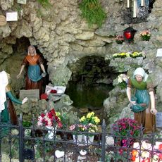
Lourdeskapelle
1.3 km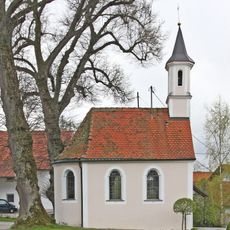
Katholische Kapelle Mariä Opferung
3.8 km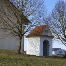
Feldkapelle
2 km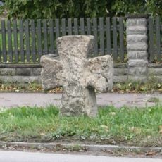
Steinkreuz
4.4 km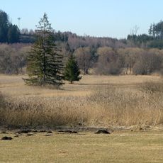
Riedellandschaft-Talmoore
1.2 km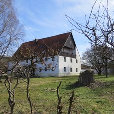
Ehemaliger Zehentstadel des Spitals
1.7 km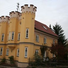
Sogenanntes Altertum-Haus
4.1 km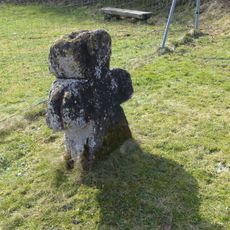
Steinkreuz
2 kmReviews
Visited this place? Tap the stars to rate it and share your experience / photos with the community! Try now! You can cancel it anytime.
Discover hidden gems everywhere you go!
From secret cafés to breathtaking viewpoints, skip the crowded tourist spots and find places that match your style. Our app makes it easy with voice search, smart filtering, route optimization, and insider tips from travelers worldwide. Download now for the complete mobile experience.

A unique approach to discovering new places❞
— Le Figaro
All the places worth exploring❞
— France Info
A tailor-made excursion in just a few clicks❞
— 20 Minutes