
Bauernhaus, building in Aschau im Chiemgau, Upper Bavaria, Germany
Location: Aschau im Chiemgau
Address: Hainbach 11
GPS coordinates: 47.73041,12.30063
Latest update: March 22, 2025 22:29

Geigelstein
3.6 km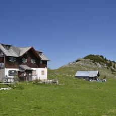
Klausenberg
2.7 km
Alm, sogenannte Thalalm
3.9 km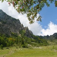
Geigelstein
3 km
Brandelberg
3.8 km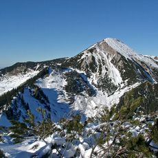
Geigelstein und Achentaldurchbruch
3.6 km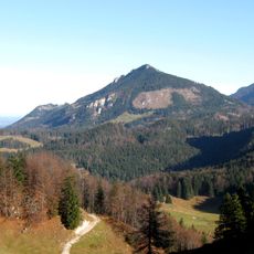
Hochriesgebiet und Hangwälder im Aschauer Tal
3.1 km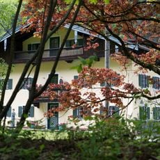
Ehemaliges Bauernhaus
1.7 km
Roßalpenkopf
3.1 km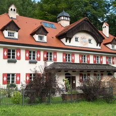
Hammerbach 6
3.8 km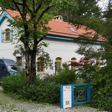
Hammerbach 10
3.6 km
Alm, sogenannte Schreckalm
3.3 km
Mühlhornwand
3 km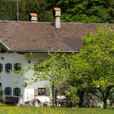
Hainbach 60
951 m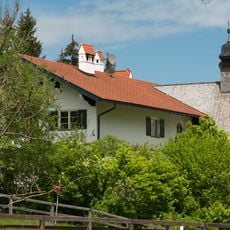
Schulhaus
310 m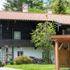
Ehemaliges Bauernhaus
3.3 km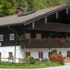
Ehemaliges Bauernhaus
3.2 km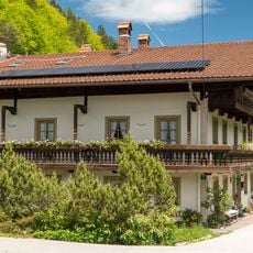
Mühlhörndlweg 5
2.2 km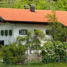
Schwarzenstein 2
1.2 km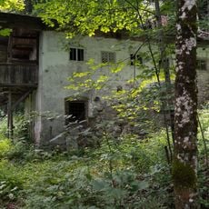
Hammerbach 16
3.5 km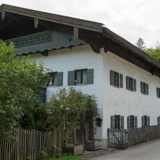
Zellerhornstraße 87
3.7 km
Hammerbach 13
3.6 km
Hammerbach 11
3.6 km
Alm, sogenannte Sulzingalm
3.3 km
Hammerbach 4
3.8 km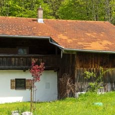
Ehemalige Mühle
1.3 km
Ehemaliges Forsthaus, heute Wohnhaus
1.5 km
Bach 19
3.1 kmReviews
Visited this place? Tap the stars to rate it and share your experience / photos with the community! Try now! You can cancel it anytime.
Discover hidden gems everywhere you go!
From secret cafés to breathtaking viewpoints, skip the crowded tourist spots and find places that match your style. Our app makes it easy with voice search, smart filtering, route optimization, and insider tips from travelers worldwide. Download now for the complete mobile experience.

A unique approach to discovering new places❞
— Le Figaro
All the places worth exploring❞
— France Info
A tailor-made excursion in just a few clicks❞
— 20 Minutes