
Innstraße 2a, 4, dreigeschossige, an die Spitalkirche St. Joseph angeschlossene Anlage, 1866/67, im Kern älter
Location: Rosenheim
Address: Innstraße 2 a; Innstraße 4
GPS coordinates: 47.85570,12.12950
Latest update: April 4, 2025 19:16

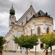
Parish Church St. Nicholas, Rosenheim
105 m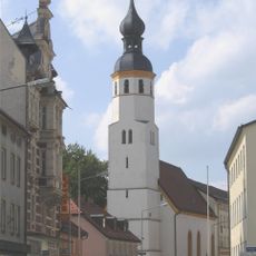
St. Joseph
34 m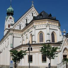
Sankt Nikolaus
97 m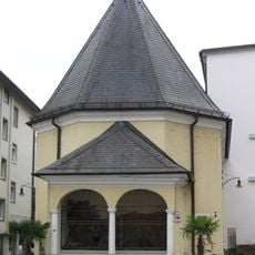
Ölbergkapelle (Rosenheim)
117 m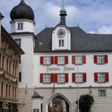
Municipal Museum Rosenheim
120 m
Innstraße 14
77 m
Färberstraße 19
137 m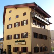
Färberstraße 4
77 m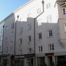
Max-Josefs-Platz 23
138 m
Färberstraße 6
93 m
Ludwigsplatz 7
45 m
Ludwigsplatz 9
79 m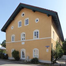
An der Burgermühle
134 m
Spitalstraße 3
82 m
Ludwigsplatz 12
89 m
Max-Josefs-Platz 30
122 m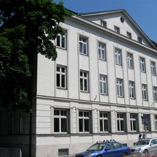
Königstraße 7
100 m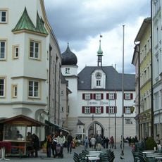
Stadttor
120 m
Ludwigsplatz 19
130 m
Max-Josefs-Platz 32
117 m
Ludwigsplatz 22
95 m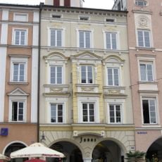
Max-Josefs-Platz 24
134 m
Max-Josefs-Platz 25
126 m
Max-Josefs-Platz 26
127 m
Ludwigsplatz 11
89 m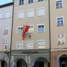
Ludwigsplatz 10
79 m
Königstraße 1
37 m
Ehem. Brauereigebäude, sogenanntes "Saubräu-Anwesen"
112 mReviews
Visited this place? Tap the stars to rate it and share your experience / photos with the community! Try now! You can cancel it anytime.
Discover hidden gems everywhere you go!
From secret cafés to breathtaking viewpoints, skip the crowded tourist spots and find places that match your style. Our app makes it easy with voice search, smart filtering, route optimization, and insider tips from travelers worldwide. Download now for the complete mobile experience.

A unique approach to discovering new places❞
— Le Figaro
All the places worth exploring❞
— France Info
A tailor-made excursion in just a few clicks❞
— 20 Minutes