
Städtischer Friedhof Rosenheim
Städtischer Friedhof Rosenheim, angelegt 1809, erweitert 1876 und 1898;
Location: Rosenheim
Address: Klosterweg 21
GPS coordinates: 47.85991,12.12260
Latest update: March 3, 2025 00:54


Loretokapelle Rosenheim
317 m
Prinzregentenstraße 20
372 m
Prinzregentenstraße 22
371 m
Prinzregentenstraße 26
335 m
Gymnasium
283 m
Prinzregentenstraße 39
355 m
Am Salzstadel 1
458 m
Frühlingstraße 16
336 m
Herbststraße 11
146 m
Frühlingstraße 8
380 m
Kaiserstraße 15
456 m
Klosterkirche St. Sebastian
111 m
Kriegerdenkmal
319 m
Burgfriedenssäule
332 m
Bürgerhaus
448 m
Prinzregentenstraße 14
435 m
Herbststraße 23
157 m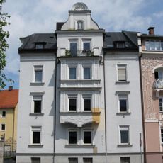
Heilig-Geist-Straße 50
179 m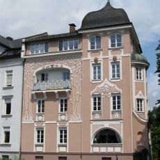
Heilig-Geist-Straße 48
171 m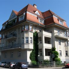
Heilig-Geist-Straße 44
213 m
Frühlingstraße 5
377 m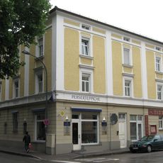
Steinbökstraße 6
342 m
Steinbökstraße 7
274 m
Westermayerstraße 16
182 m
Westermayerstraße 20
191 m
Heilig-Geist-Straße 12
470 m
Am Salzstadel 4
419 m
Frühlingstraße 33
351 mVisited this place? Tap the stars to rate it and share your experience / photos with the community! Try now! You can cancel it anytime.
Discover hidden gems everywhere you go!
From secret cafés to breathtaking viewpoints, skip the crowded tourist spots and find places that match your style. Our app makes it easy with voice search, smart filtering, route optimization, and insider tips from travelers worldwide. Download now for the complete mobile experience.

A unique approach to discovering new places❞
— Le Figaro
All the places worth exploring❞
— France Info
A tailor-made excursion in just a few clicks❞
— 20 Minutes