
Kölner Weg 48, building in Kiefersfelden, Upper Bavaria, Germany
Location: Kiefersfelden
Address: Kölner Weg 48
GPS coordinates: 47.62888,12.17715
Latest update: March 3, 2025 15:11
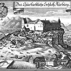
Auerburg
1.6 km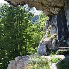
Luegsteinhöhle
1.6 km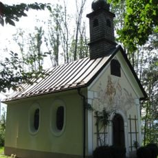
Florianikapelle
1.5 km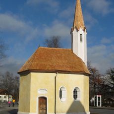
Sankt Sebastian (Kiefersfelden)
1.8 km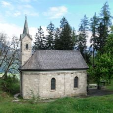
Wallfahrtskapelle zur Schmerzhaften Muttergottes
1.1 km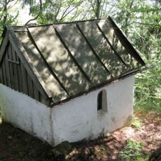
Marienkapelle
426 m
Hofkapelle
923 m
Inschutznahme des Gebietes Mühlau-Schöffau als LSG
1.7 km
Franz-Prantl-Straße 22
1.1 km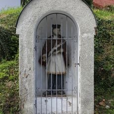
Johann-Nepomuk-Bildstock
1.7 km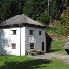
Klause
1.1 km
Bergweg 1
1.2 km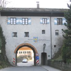
Burgtor
1.7 km
Laiminger Weg 21
918 m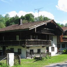
Mühlenstraße 3, 5
1.2 km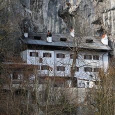
Weber an der Wand
1.6 km
Kölner Weg 30
359 m
Kölner Weg 31
341 m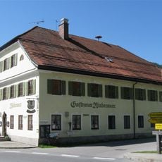
Rosenheimer Straße 125
1.2 km
Franz-Huber-Straße 24
1.1 km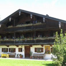
Ried 1
381 m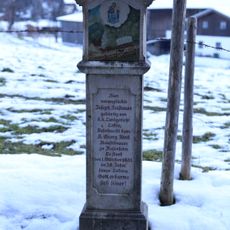
Bildstock
1.3 km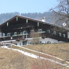
Thierseestraße 34
1.1 km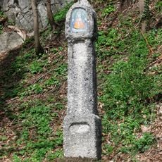
Martersäule
1.6 km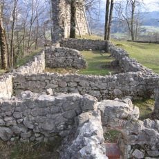
Burgruine, sog. Auerburg
1.6 km
Wohnhaus
1.7 km
Franz-Huber-Straße 18
1.1 km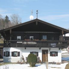
Kohlenbrennerweg 2
1.2 kmReviews
Visited this place? Tap the stars to rate it and share your experience / photos with the community! Try now! You can cancel it anytime.
Discover hidden gems everywhere you go!
From secret cafés to breathtaking viewpoints, skip the crowded tourist spots and find places that match your style. Our app makes it easy with voice search, smart filtering, route optimization, and insider tips from travelers worldwide. Download now for the complete mobile experience.

A unique approach to discovering new places❞
— Le Figaro
All the places worth exploring❞
— France Info
A tailor-made excursion in just a few clicks❞
— 20 Minutes