
Bundwerkstadel, mit Flachsatteldach, erste Hälfte 19. Jahrhundert
Location: Bad Endorf
Address: Kurf 2
GPS coordinates: 47.90115,12.29244
Latest update: November 20, 2025 12:26

Chiemgau Thermen
452 m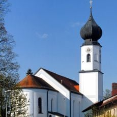
St. Jakobus
934 m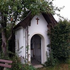
Chiemseeweg 5
935 m
Bahnhofstraße 26
797 m
Bahnhofstraße 37
836 m
Bundwerkstadel
73 m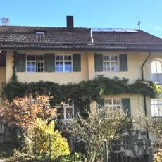
Landhaus
955 m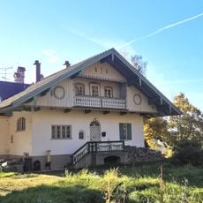
Landhaus
955 m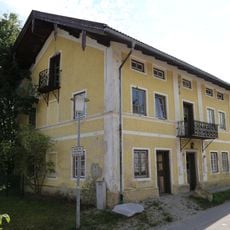
Rosenheimer Straße 3a
835 m
Stattlicher Bundwerkstadel
144 m
Cultural heritage D-1-8039-0067 in Bad Endorf
937 m
Bahnhofplatz 3
882 m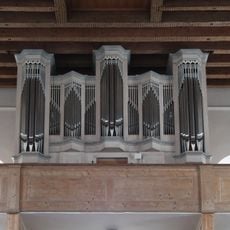
Orgel der Katholische Pfarrkirche St. Jakobus der Ältere - Bad Endorf
930 m
Volkstheater Bad Endorf
913 m
Wayside cross
885 m
Das Große Lächeln
522 m
Wayside shrine
926 m
Wayside cross
53 m
Mariengrotte
158 m
Zugunglück 1967
574 m
CLB, Historische Zugfahrten
822 m
Wayside cross
785 m
Phillipine und August Hummel
527 m
Wayside cross
515 m
Viktor
937 m
Catholic church building, wayside cross, Christianity
808 m
Wayside cross
888 m
Wayside cross, Christianity
946 mReviews
Visited this place? Tap the stars to rate it and share your experience / photos with the community! Try now! You can cancel it anytime.
Discover hidden gems everywhere you go!
From secret cafés to breathtaking viewpoints, skip the crowded tourist spots and find places that match your style. Our app makes it easy with voice search, smart filtering, route optimization, and insider tips from travelers worldwide. Download now for the complete mobile experience.

A unique approach to discovering new places❞
— Le Figaro
All the places worth exploring❞
— France Info
A tailor-made excursion in just a few clicks❞
— 20 Minutes