
Stadel, landing; Bundwerkstadel mit Flachsatteldach, drittes Viertel 19. Jahrhundert, und überbautem Getreidekasten in Blockbauweise, 17. Jahrhundert
Location: Bad Endorf
Address: In Landing
GPS coordinates: 47.91099,12.28346
Latest update: March 3, 2025 12:21
Hartmannsberg
4.6 km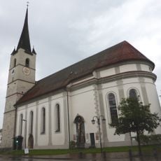
Church of the Assumption, Halfing, Bavaria, Germany
4.6 km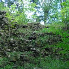
Burgruine Speckerturm
3.6 km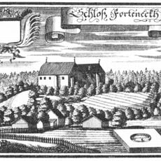
Hofmark Halfing
4.7 km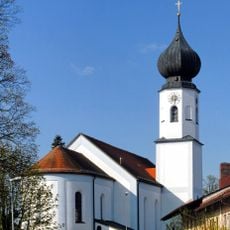
St. Jakobus
1.1 km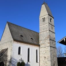
Mariä Himmelfahrt
3.4 km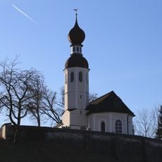
St. Andreas
3 km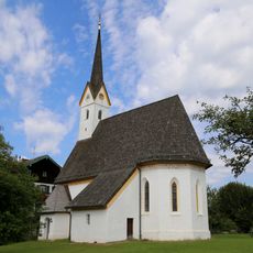
St. Bartholomäus (Guntersberg)
2.6 km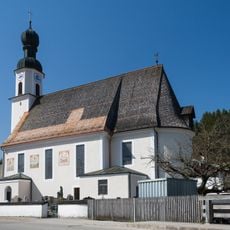
Filial- und Wallfahrtskirche Mariä Himmelfahrt, Antwort
2.7 km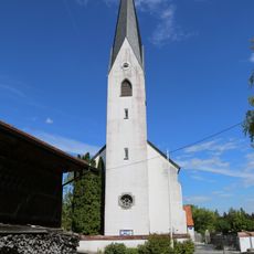
Katholische Kuratiekirche St. Rupert und Laurentius
4.4 km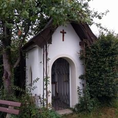
Chiemseeweg 5
1.9 km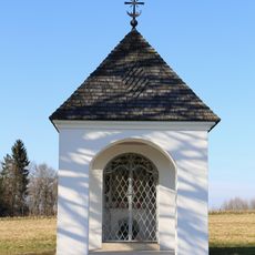
Feldkapelle Holzen
4.2 km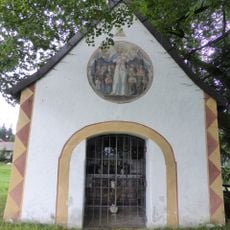
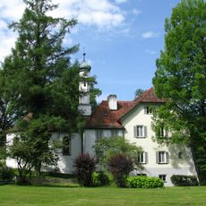
Ehem. Schlosskapelle Forchtenegg
4.9 km
LSG Moor- und Tallandschaften bei Söchtenau
3.5 km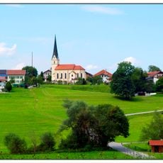
St. Peter
3.7 km
Marias Kino
1.2 km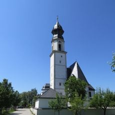
St. Margaretha
4.6 km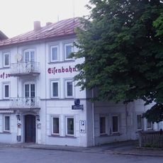
Bahnhofstraße 37
1.4 km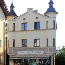
Bahnhofstraße 26
1.3 km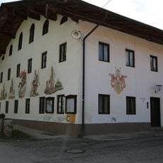
Ehemaliger Gasthof in Form eines Einfirsthofes
4.4 km
Landhaus
778 m
Landhaus
836 m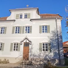
Pfarrhaus
1 km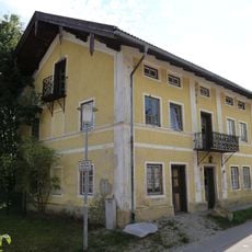
Rosenheimer Straße 3a
1 km
Stadel
1.4 km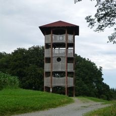
Ratzinger Höhe Observation Tower
4.9 km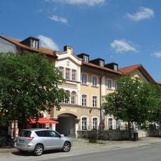
Bahnhofplatz 3
1.6 km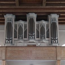
Orgel der Katholische Pfarrkirche St. Jakobus der Ältere - Bad Endorf
1.1 kmReviews
Visited this place? Tap the stars to rate it and share your experience / photos with the community! Try now! You can cancel it anytime.
Discover hidden gems everywhere you go!
From secret cafés to breathtaking viewpoints, skip the crowded tourist spots and find places that match your style. Our app makes it easy with voice search, smart filtering, route optimization, and insider tips from travelers worldwide. Download now for the complete mobile experience.

A unique approach to discovering new places❞
— Le Figaro
All the places worth exploring❞
— France Info
A tailor-made excursion in just a few clicks❞
— 20 Minutes