
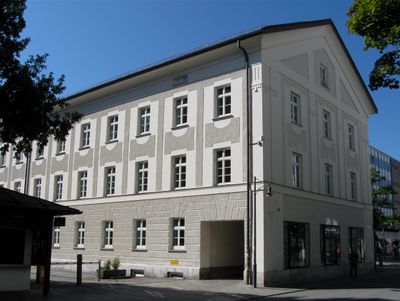
Münchener Straße 23, jetzt Vermessungsamt, viergeschossiger Satteldachbau, im Kern 1. Hälfte 19. Jahrhundert, Außenbau um 1925/30 in neuklassizistischen Formen überarbeitet
Location: Rosenheim
Address: Münchener Straße 23
GPS coordinates: 47.85340,12.12310
Latest update: March 3, 2025 12:47
Rosenheimer Volksstübl
170 m
Roßacker-Kapelle
197 m
Kufsteiner Straße 26
267 m
Bahnhofstraße 10
262 m
Holztechnisches Museum Rosenheim
315 m
Max-Josefs-Platz 5
329 m
Max-Josefs-Platz 4
310 m
Hammerweg 8
324 m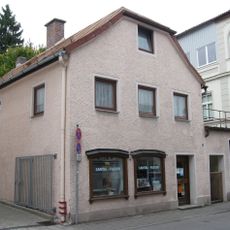
Samerstraße 11
155 m
Max-Josefs-Platz 1
295 m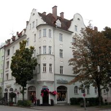
Prinzregentenstraße 7
267 m
Am Roßacker 16
344 m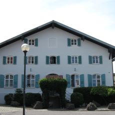
Am Roßacker 7
210 m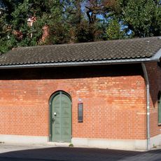
Kufsteiner Straße 20
263 m
Schmettererstrasse 20
222 m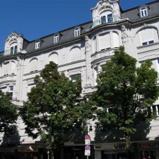
Münchener Straße 28
45 m
Münchener Straße 42
142 m
Am Roßacker 9
240 m
Neubarocke Fassade
213 m
Salinstraße 1
48 m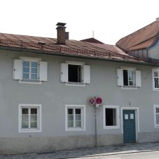
Am Roßacker 3
199 m
Rathausstraße 12
291 m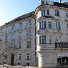
Rathausstraße 10
266 m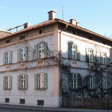
Prinzregentenstraße 14
326 m
Prinzregentenstraße 9
272 m
Münchener Straße 11
152 m
Neurenaissance-Fassade
200 m
Gillitzer-Block
251 mReviews
Visited this place? Tap the stars to rate it and share your experience / photos with the community! Try now! You can cancel it anytime.
Discover hidden gems everywhere you go!
From secret cafés to breathtaking viewpoints, skip the crowded tourist spots and find places that match your style. Our app makes it easy with voice search, smart filtering, route optimization, and insider tips from travelers worldwide. Download now for the complete mobile experience.

A unique approach to discovering new places❞
— Le Figaro
All the places worth exploring❞
— France Info
A tailor-made excursion in just a few clicks❞
— 20 Minutes