
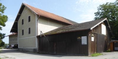
Bauernhaus, building in Rosenheim, Upper Bavaria, Germany
Location: Rosenheim
Address: Fürstätt 10
GPS coordinates: 47.85399,12.09810
Latest update: April 21, 2025 02:06
Südtiroler Platz 2
1.6 km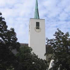
Christkönigkirche
1.2 km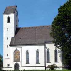
St. Quirin
251 m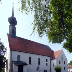
Rosenkranzkönigin
85 m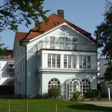
Münchener Straße 66a
1.5 km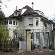
Villa
1.5 km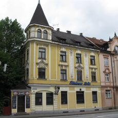
Hubertusstraße 1
915 m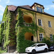
Bahnhofstraße 10
1.7 km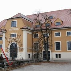
Kraftwerk der Kunstmühle Rosenheim
1.7 km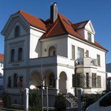
Kunstmühlstraße 7
1.3 km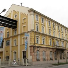
Münchener Straße Auerbräu Rosenheim
1.3 km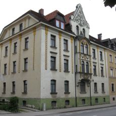
Hubertusstraße 5
934 m
Villa
502 m
Kellerstraße 16
1.4 km
Kellerstraße 14
1.4 km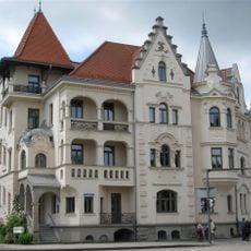
Prinzregentenstraße 39
1.6 km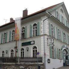
Schmettererstrasse 20
1.7 km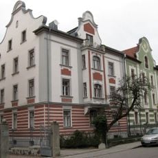
Kellerstraße 12
1.4 km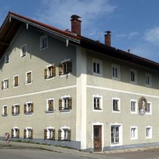
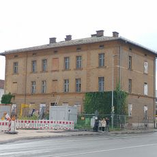
Wohnhaus
74 m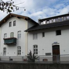
Am Roßacker 16
1.5 km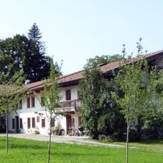
Wohnteil des ehem. Bauernhauses
99 m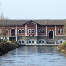
Elektrizitätswerk Rosenheim
768 m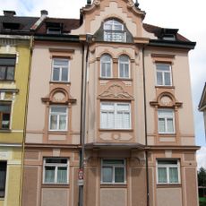
Hubertusstraße 3
923 m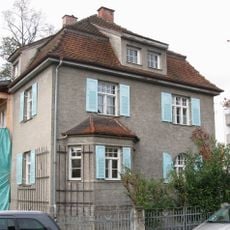
Dr.-Hefner-Straße 2
1.4 km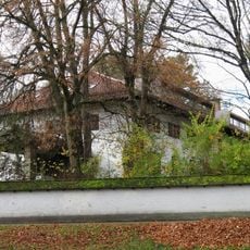
Ehem. Offizierskasino
1.4 km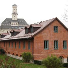
Kunstmühlstraße 25
1.4 km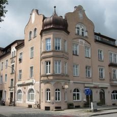
Äußere Münchener Straße 23
446 m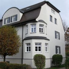
Dr.-Hefner-Straße 5
1.4 kmReviews
Visited this place? Tap the stars to rate it and share your experience / photos with the community! Try now! You can cancel it anytime.
Discover hidden gems everywhere you go!
From secret cafés to breathtaking viewpoints, skip the crowded tourist spots and find places that match your style. Our app makes it easy with voice search, smart filtering, route optimization, and insider tips from travelers worldwide. Download now for the complete mobile experience.

A unique approach to discovering new places❞
— Le Figaro
All the places worth exploring❞
— France Info
A tailor-made excursion in just a few clicks❞
— 20 Minutes