
Brechhütte, massivbau mit Blockbaukniestock und Flachsatteldach, Ende 18./Anfang 19. Jahrhundert
Location: Oberaudorf
Address: Flur Zimmerau
GPS coordinates: 47.65324,12.14241
Latest update: June 17, 2025 19:53
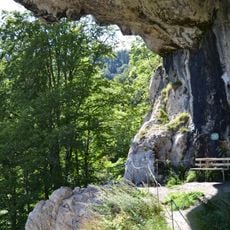
Luegsteinhöhle
2.2 km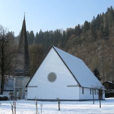
Auferstehungskirche
1.5 km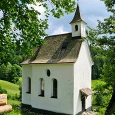
Hofkapelle Schweinsteig
2.2 km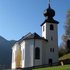
St. Joseph
1 km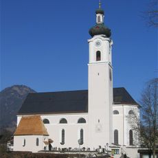
Pfarrkirche zu Unserer Lieben Frau
2.3 km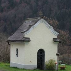
Hofkapelle Ramsau
2.2 km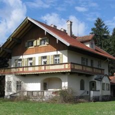
Rosenheimer Straße 79
2.2 km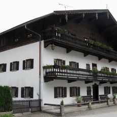
Lindenstraße 2
2.3 km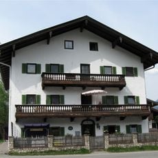
Carl-Hagen-Straße 4
2.2 km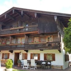
Carl-Hagen-Straße 12
2.1 km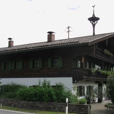
Bauernhaus, Einfirsthof
2.3 km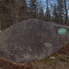
Findling Grauer Stein bei Oberaudorf
1.9 km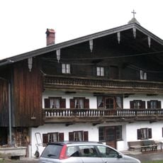
Brechhütte
1 km
Wildgrub 3
2.4 km
Villa, jetzt Sitz der Riemerschmidstiftung
2.2 km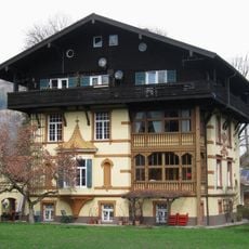
Rosenheimer Straße 59
2.2 km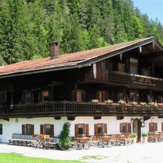
Wallerhof
2.3 km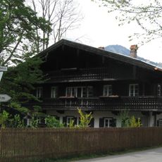
Carl-Hagen-Straße 18
2.1 km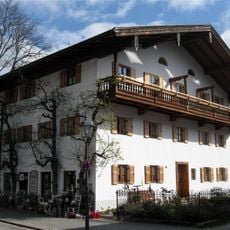
Ehemals Bauernhaus, Einfirsthof
2.3 km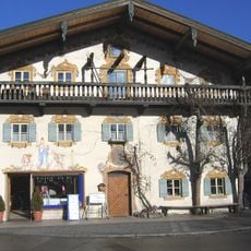
Rosenheimer Straße 13
2.3 km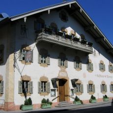
Rosenheimer Straße 3
2.3 km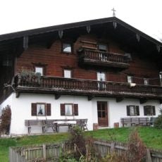
Eck 6
851 m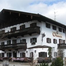
Ehemals Bauernhof, Einfirsthof, jetzt Gasthof, sog. Ochsenwirt
2.1 km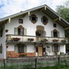
Bauernhaus, Einfirsthof
2.1 km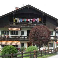
Carl-Hagen-Straße 10
2.1 km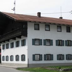
Carl-Hagen-Straße 6
2.2 km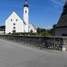
Friedhofsmauer Sankt-Josef-Spital-Straße 1 in Oberaudorf
2.3 km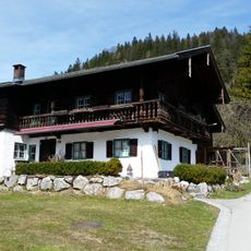
Wildgrub 5
2.3 kmReviews
Visited this place? Tap the stars to rate it and share your experience / photos with the community! Try now! You can cancel it anytime.
Discover hidden gems everywhere you go!
From secret cafés to breathtaking viewpoints, skip the crowded tourist spots and find places that match your style. Our app makes it easy with voice search, smart filtering, route optimization, and insider tips from travelers worldwide. Download now for the complete mobile experience.

A unique approach to discovering new places❞
— Le Figaro
All the places worth exploring❞
— France Info
A tailor-made excursion in just a few clicks❞
— 20 Minutes