
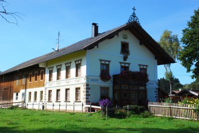
Oberlandstraße 71, zweigeschossige Einfirstanlage mit flachem Satteldach, Wohnteil mit originellen Putzgliederungen, Putzdekor und Bemalung, bezeichnet mit „1910“
Location: Sauerlach
Address: Oberlandstraße 71
GPS coordinates: 47.95108,11.64413
Latest update: March 3, 2025 13:22
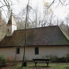
Corona-Kapelle
2.2 km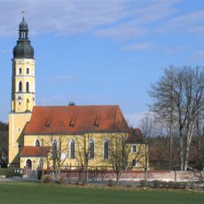
Sankt Michael (Arget)
1.1 km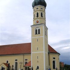
Sankt Andreas (Sauerlach)
2.4 km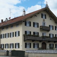
Beim Lindmaier (Sauerlach)
2.4 km
Heimatmuseum Sauerlach
1.6 km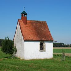
Kapelle
165 m
Urspringer Straße 1
1.5 km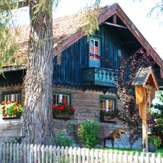
Ehemaliger Getreidekasten
486 m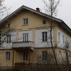
Forsthaus Sauerlach
2.2 km
Schmiedstraße 9
2.7 km
Kramergasse 2
540 m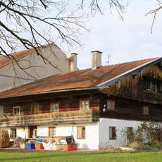
Oberlandstraße 72
135 m
Am Brand 4
1.4 km
Dischingerweg 2
2.2 km
Michelistraße 18
787 m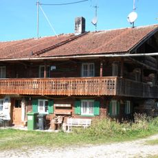
Ehemaliger Bauernhof, sogenannt Beim Demmel
1.6 km
Ehemaliges Bauernhaus, sogenannt Beim Jagerbauer
841 m
Wohnteil des ehemaligen Bauernhauses, sogenannt Beim Stübler
2.3 km
Kirchstraße 11
2.6 km
Ehemaliges Kleinbauernhaus, sogenannt Beim Stüpfer
2.4 km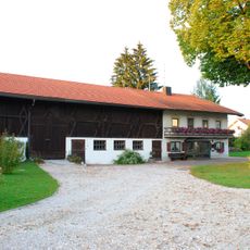
Wolfratshausener Straße 10
2.4 km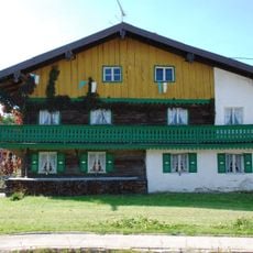
Altkirchener Straße 1
550 m
Ehemaliges Kleinstbauernhaus, sogenannt Beim Weigl
596 m
Wolfratshausener Straße 9
2.4 km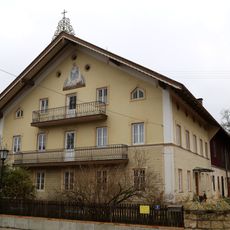
Kirchstraße 5
2.5 km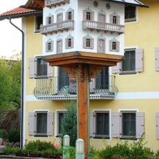
Taubenhaus
2.5 km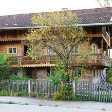
Bahnhofstraße 8
2.5 km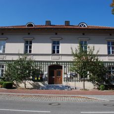
Ehemaliges Schulhaus, jetzt Rathaus
2.5 kmReviews
Visited this place? Tap the stars to rate it and share your experience / photos with the community! Try now! You can cancel it anytime.
Discover hidden gems everywhere you go!
From secret cafés to breathtaking viewpoints, skip the crowded tourist spots and find places that match your style. Our app makes it easy with voice search, smart filtering, route optimization, and insider tips from travelers worldwide. Download now for the complete mobile experience.

A unique approach to discovering new places❞
— Le Figaro
All the places worth exploring❞
— France Info
A tailor-made excursion in just a few clicks❞
— 20 Minutes