
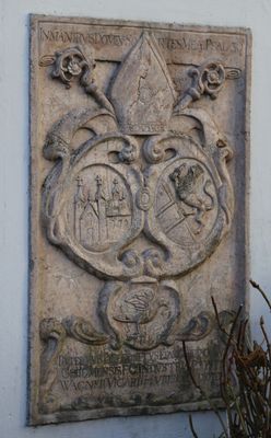
Gedenkstein, rotmarmorrelief, bezeichnet 1670; in Mauer des Pfarrhofs eingelassen
Location: Riedering
Address: Am Kirchberg 6
GPS coordinates: 47.83788,12.20710
Latest update: March 9, 2025 12:47
Maria Stern
2 km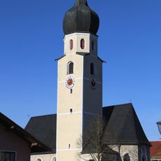
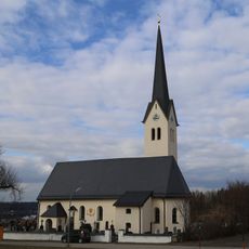
St. Johann Baptist
3.1 km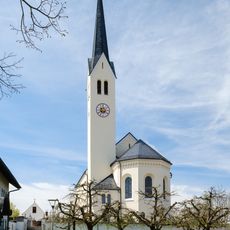
Mariae Himmelfahrt
31 m
Filialkirche St. Magdalena
2.8 km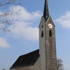
St. Stephanus
2.5 km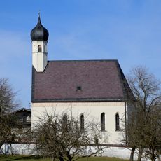
St. Andreas und Vitus
1.5 km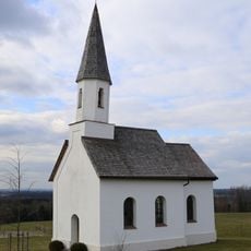
Kapelle Petzgersdorf
1.6 km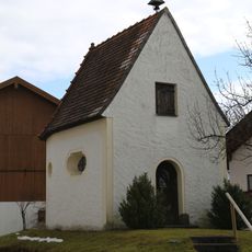
St. Sebastian
1.5 km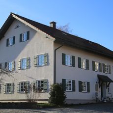
Pfarrhof
16 m
Simser Weg 35
2.9 km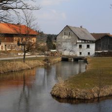
Krottenhausmühle
1.9 km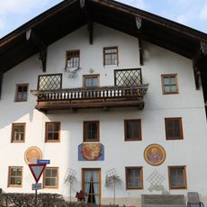
Schömeringer Straße 26
2.5 km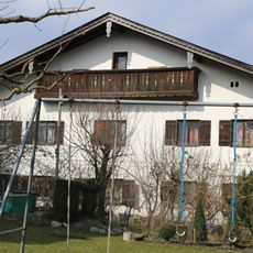
Bauernhaus
2.5 km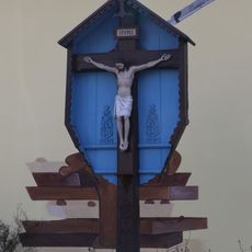
Wegkreuz
668 m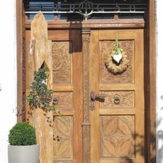
Geschnitzte Haustür
2.8 km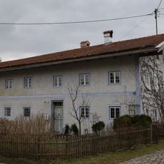
Ehem. Bauernhaus
2 km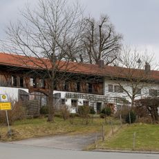
Ehem. Bauernhaus
1.9 km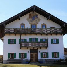
Gögging 11
1.5 km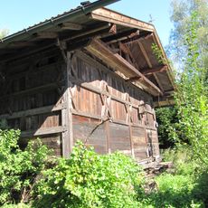
Lauterbacher Strasse 31
3 km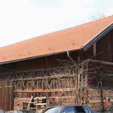
Stadel
2.5 km
Bauernhaus
2.7 km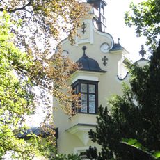
Mühle
2.3 km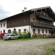
Sonnbichlstrasse 2
2.1 km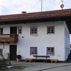
Wohnteil des Bauernhauses
3.4 km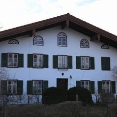
Ehem. Bauernhaus
3.5 km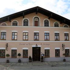
Gasthaus
3.5 km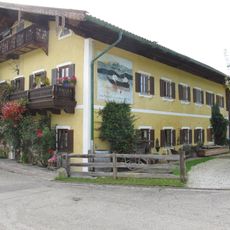
Fischerstraße 7
2.6 km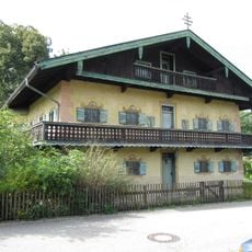
Ehemaliges Pfarrhaus
2.6 kmVisited this place? Tap the stars to rate it and share your experience / photos with the community! Try now! You can cancel it anytime.
Discover hidden gems everywhere you go!
From secret cafés to breathtaking viewpoints, skip the crowded tourist spots and find places that match your style. Our app makes it easy with voice search, smart filtering, route optimization, and insider tips from travelers worldwide. Download now for the complete mobile experience.

A unique approach to discovering new places❞
— Le Figaro
All the places worth exploring❞
— France Info
A tailor-made excursion in just a few clicks❞
— 20 Minutes