
Ehemaliger Einfirsthof, zweigeschossiger, nordöstlich ausgemauerter Flachsatteldach-Blockbau mit Laube und Brettermantel am ehemaligen Wirtschaftsteil, erste Hälfte 17. Jahrhundert, Fenster 19. Jahrhundert, 1989 umfassend erneuert
Location: Bad Wiessee
Address: Ringseeweg 7
GPS coordinates: 47.70251,11.73828
Latest update: March 4, 2025 18:47
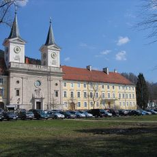
Tegernsee Abbey
1.5 km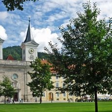
St. Quirin
1.5 km
Olaf-Gulbransson-Museum Tegernsee
1.4 km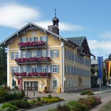
Rathaus Tegernsee
1.3 km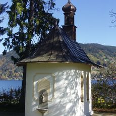
St.Hubertus Kapelle
467 m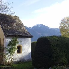
Friedlkapelle
87 m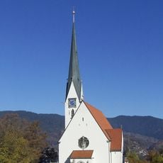
Pfarrkirche Mariä Himmelfahrt
839 m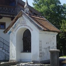
Sappl Kapelle (Bad Wiessee)
171 m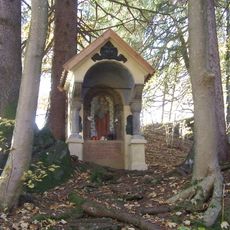
Waldkapelle (Bad Wiessee)
1.3 km
Herz Jesu Kapelle (Bad Wiessee)
1 km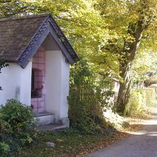
Sterneggerkapelle
810 m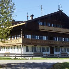
Manglhof
841 m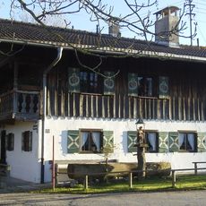
Sterneggerhof
799 m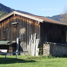
Getreidekasten (Bad Wiessee)
835 m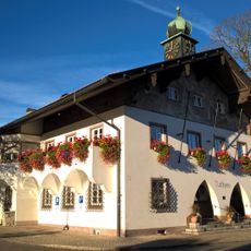
Rathaus (Bad Wiessee)
1.3 km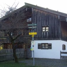
Bauernhaus Sterneggerstrasse
787 m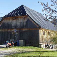
Ehemaliger Triftstadel, jetzt Station der Wasserwacht
383 m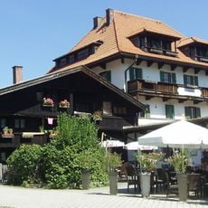
Abwinkler Hof
191 m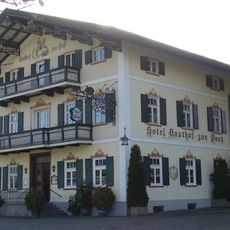
Hotel Gasthof zur Post
1.5 km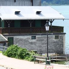
Bootshaus
1.5 km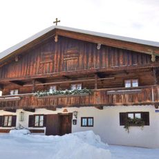
Ehemaliger Bauernhof mit dazugehöriger Bootshütte
844 m
Budererhof
99 m
Troadkasten
922 m
Ufermauer
1.3 km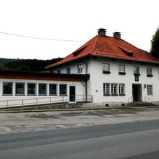
Postamt
1.3 km
Schule mit Feuerwehr (Bad Wiessee)
999 m
Altherrenhaus Tegernsee
1.4 km
Bauernhaus
761 mReviews
Visited this place? Tap the stars to rate it and share your experience / photos with the community! Try now! You can cancel it anytime.
Discover hidden gems everywhere you go!
From secret cafés to breathtaking viewpoints, skip the crowded tourist spots and find places that match your style. Our app makes it easy with voice search, smart filtering, route optimization, and insider tips from travelers worldwide. Download now for the complete mobile experience.

A unique approach to discovering new places❞
— Le Figaro
All the places worth exploring❞
— France Info
A tailor-made excursion in just a few clicks❞
— 20 Minutes