
Nischenbildstock, gemauerte und verputzte Nischenanlage, 2. Hälfte 19. Jh.; westlich an der Hauptstraße
Location: Eiselfing
Address: Leiten
GPS coordinates: 48.01897,12.19804
Latest update: March 22, 2025 12:28
Altenhohenau
1.9 km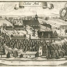
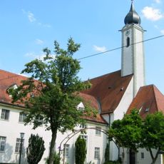
Attel Abbey
1.8 km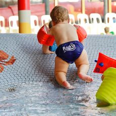
Badria
4.2 km
Schloss Zellerreit
4.1 km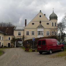
Schloss Hart
4.3 km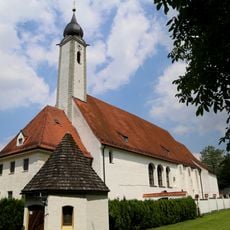
Klosterkirche Altenhohenau
2 km
Vogelfreistätte Innstausee bei Attel und Freiham
1.1 km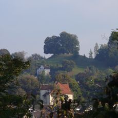
Burgstall Achatzberg
4.6 km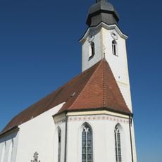
St. Rupertus (Eiselfing)
4.2 km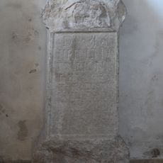
Römischer Grabaltar (Eiselfing)
4.2 km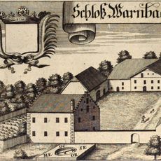
Cultural heritage D-1-8039-0037 in Griesstätt
3.3 km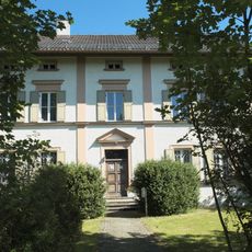
Pfarrhaus
4.3 km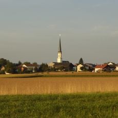
St. Johannes Baptist
3.2 km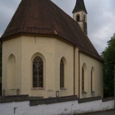
Katholische Kirche St. Achatz, ehemalige Leprosenhauskirche
4.6 km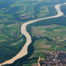
Schutz von Landschaftsteilen im Bereich der Griesstätter Brücke, Gemarkung Feldkirchen, Griesstätt, Holzhausen, Ramerberg
3.8 km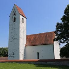
Hl. Kreuz
3 km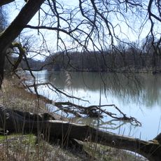
NSG 'Vogelfreistätte Innstausee bei Attel und Freiham'
813 m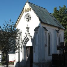
Friedhofskapelle Am Pfarrstadl 4 in Eiselfing
4.1 km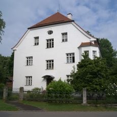
Villa
4.7 km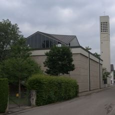
Katholische Stadtpfarrkirche St. Konrad
4.3 km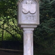
Denkmal der Kurfürstin Maria Leopoldine von Bayern
4.6 km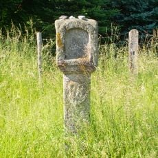
Bildstock
4.3 km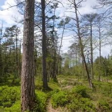
Murn, Murner Filz und Eiselfinger See
3 km
Blockbau-Obergeschoss eines ehemaligen Einfirsthofes
4.4 km
Altenhohenau 8
2 km
Achatzstraße 4
4.6 km
Salzburger Straße 19
4.6 km
Achatzstraße 8
4.6 kmReviews
Visited this place? Tap the stars to rate it and share your experience / photos with the community! Try now! You can cancel it anytime.
Discover hidden gems everywhere you go!
From secret cafés to breathtaking viewpoints, skip the crowded tourist spots and find places that match your style. Our app makes it easy with voice search, smart filtering, route optimization, and insider tips from travelers worldwide. Download now for the complete mobile experience.

A unique approach to discovering new places❞
— Le Figaro
All the places worth exploring❞
— France Info
A tailor-made excursion in just a few clicks❞
— 20 Minutes