
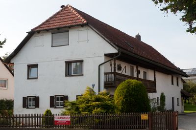
Bauernhaus, building in Ergolding, Lower Bavaria, Germany
Location: Ergolding
Address: Lindenstraße 66
GPS coordinates: 48.57439,12.16468
Latest update: April 25, 2025 13:08
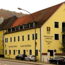
Schloß Schönbrunn in Landshut
3.4 km
Schloss Piflas (Ergolding)
2.3 km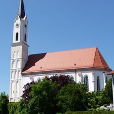
St. Peter und Paul (Ergolding)
343 m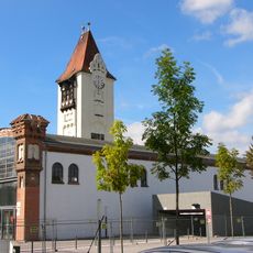
Stethaimerstraße 29 (Landshut)
3.3 km
Mariä Heimsuchung (Ergolding)
707 m
Erlöserkirche
3.2 km
St. Vinzenz von Paul
3.1 km
St. Pankratius
3.1 km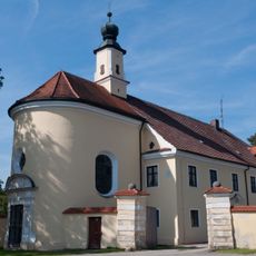
Schloss mit Stadel und Kapelle
2.3 km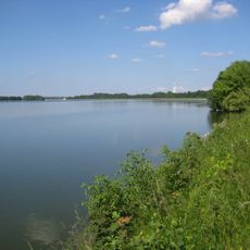
LSG Altheimer Stausee
2.7 km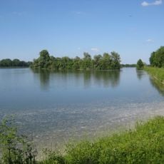
Schutz von Landschaftsteilen in den Unteren Isarauen am Altheimer Stausee
2.9 km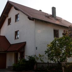
Bauernhaus
927 m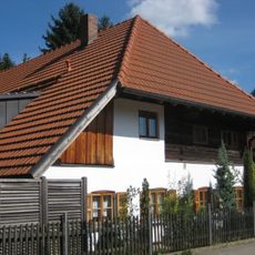
Kleinbauernhaus
479 m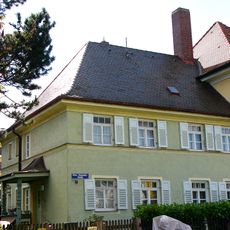
Wohnhaus
3.1 km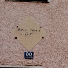
Haustafel zur Erbauung
496 m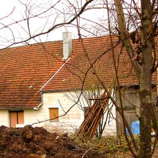
Ehemaliges Wohnstallhaus
2.5 km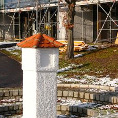
Säule
2.7 km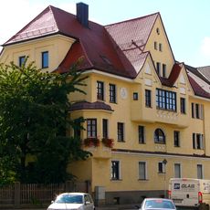
Wohnhaus
3.4 km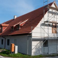
Bauernhaus mit Getreidekasten
766 m
XI. Burgfriedenssäule
3.1 km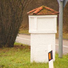
VIII. Burgfriedenssäule
2.1 km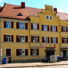
Wohnhaus
3.1 km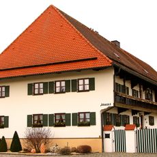
Ehemaliges Wohnstallhaus eines Vierseithofs
3.2 km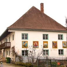
Landshuter Straße 4
2.6 km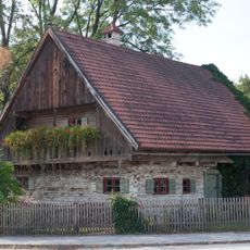
Ehemaliges Hirtenhaus
649 m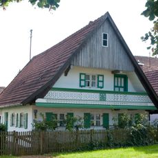
Wohnhaus
560 m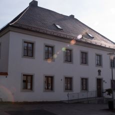
Pfarrhof
681 m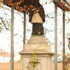
Figur des Johannes Nepomuk
2.4 kmReviews
Visited this place? Tap the stars to rate it and share your experience / photos with the community! Try now! You can cancel it anytime.
Discover hidden gems everywhere you go!
From secret cafés to breathtaking viewpoints, skip the crowded tourist spots and find places that match your style. Our app makes it easy with voice search, smart filtering, route optimization, and insider tips from travelers worldwide. Download now for the complete mobile experience.

A unique approach to discovering new places❞
— Le Figaro
All the places worth exploring❞
— France Info
A tailor-made excursion in just a few clicks❞
— 20 Minutes