
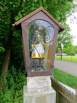
Nepomuk, heiliger Johannes von Nepomuk, bezeichnet mit 1927
Location: Kranzberg
Address: Nähe Untere Dorfstraße
GPS coordinates: 48.40596,11.61186
Latest update: March 3, 2025 07:24
Bronzezeitliche Befestigung bei Bernstorf
1.4 km
St. Clemens
4.1 km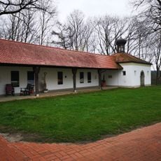
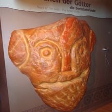
Bronzezeit Bayern Museum Kranzberg
322 m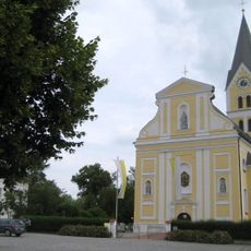
St. Joseph
3.1 km
Wasserkraftwerk Kranzberg
1.5 km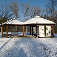
Weltwald
4.2 km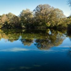
Kranzberger See
983 m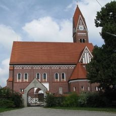
St. George
4 km
Burgstall Kranzberg
322 m
Haus für Geoinformation
238 m
Evangelische Pfarrkirche (Oberallershausen)
3.3 km
St. Peter und Paul (Unterkienberg)
4.2 km
St. Peter und Paul
3.5 km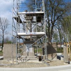
Kriegerdenkmal (Allershausen)
2.9 km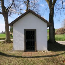
Wegkapelle Unterkienberg
4.2 km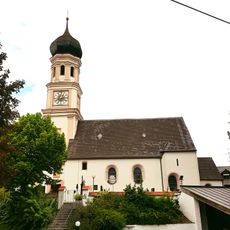
St. Leonhard (Leonhardsbuch)
1.9 km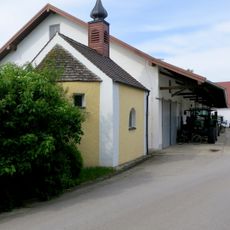
Kapelle
1.6 km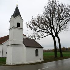
Dorfkapelle
1.4 km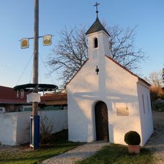
Kapelle Dorfacker
3.1 km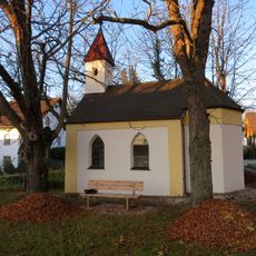
Kapelle (Eberspoint)
2 km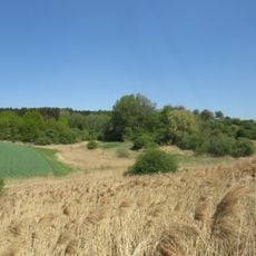
Giesenbacher Quellmoor
2.2 km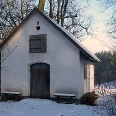
Waldhüterhäuschen
4.1 km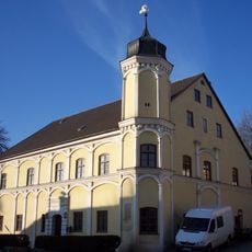
Pfleggericht
255 m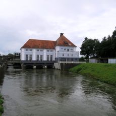
Wasserkraftwerk Kranzberg
1.5 km
Wegweiser aus Gusseisen
2.9 km
Gasthaus
4.1 km
Ehemaliges Pfarrhaus
3.9 km
Ehemalige Schule
3.9 kmReviews
Visited this place? Tap the stars to rate it and share your experience / photos with the community! Try now! You can cancel it anytime.
Discover hidden gems everywhere you go!
From secret cafés to breathtaking viewpoints, skip the crowded tourist spots and find places that match your style. Our app makes it easy with voice search, smart filtering, route optimization, and insider tips from travelers worldwide. Download now for the complete mobile experience.

A unique approach to discovering new places❞
— Le Figaro
All the places worth exploring❞
— France Info
A tailor-made excursion in just a few clicks❞
— 20 Minutes