
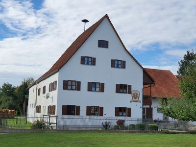
Ehemaliger Amtshof, hauptbau der Dreiseitanlage, Wohngebäude, massiver zweigeschossiger Bau mit Steilsatteldach und Traufschrot, wohl 17. Jahrhundert
Location: Pfeffenhausen
Address: Lohbachstraße 2
GPS coordinates: 48.64975,11.95569
Latest update: March 16, 2025 19:29
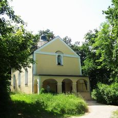
Klausenkirche
1.6 km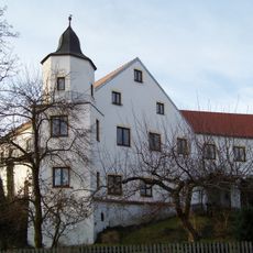
Schloss Niederhornbach
3.4 km
Sogenanntes Schloss
1.8 km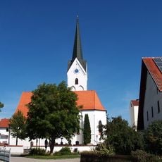
Mariä Opferung
2.4 km
Sankt Martin (Pfeffenhausen)
1.8 km
St. Blasius (Eichstätt)
623 m
St. Peter und Paul
3.2 km
Katholische Wallfahrtskirche zu Unsere Liebe Frau
1.5 km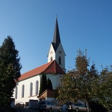
Katholische Pfarrkirche Laurentius von Rom
3.5 km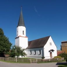
Katholische Filialkirche Nikolaus von Myra
1.7 km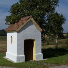
Wegkapelle Egg
3.4 km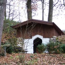
Waldkapelle Langenwies
2.7 km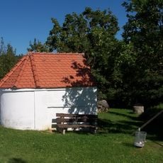
Wegkapelle Holzhausen
767 m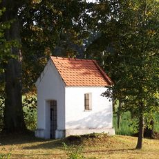
Wegkapelle St. Jakobus bei Egg
2.8 km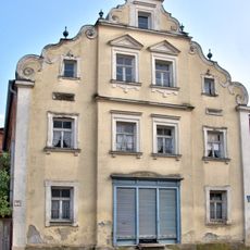
Wohn- und Geschäftshaus
2 km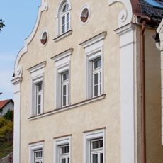
Schweifgiebelfassade
1.8 km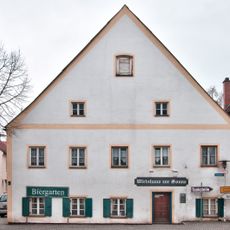
Gasthaus Sonne
1.9 km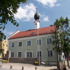
Pfeffenhausen Town Hall
1.9 km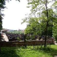
Friedhofs-Anlage
1.5 km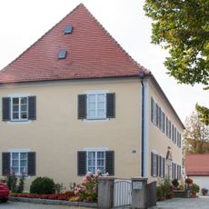
Pfarrhof
1.8 km
Brauereigasthof Brunnerbräu
1.9 km
Kleines Wohnhaus
1.8 km
Wohn- und Geschäftshaus
1.9 km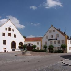
Gasthof Post
1.9 km
Wohngebäude eines Hakenhofs
1.9 km
Wohnhaus
2 km
Ensemble Marktplatz
1.9 km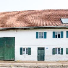
Bauernhaus
2 kmVisited this place? Tap the stars to rate it and share your experience / photos with the community! Try now! You can cancel it anytime.
Discover hidden gems everywhere you go!
From secret cafés to breathtaking viewpoints, skip the crowded tourist spots and find places that match your style. Our app makes it easy with voice search, smart filtering, route optimization, and insider tips from travelers worldwide. Download now for the complete mobile experience.

A unique approach to discovering new places❞
— Le Figaro
All the places worth exploring❞
— France Info
A tailor-made excursion in just a few clicks❞
— 20 Minutes