
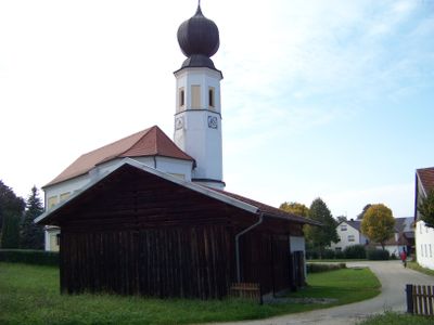
Zugehöriger Stadel, in Blockbauweise, Ende 18. Jahrhundert
Location: Ergoldsbach
Address: Kirchenstraße 2
GPS coordinates: 48.71014,12.19374
Latest update: March 9, 2025 01:00
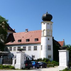
Neufahrn Castle
3 km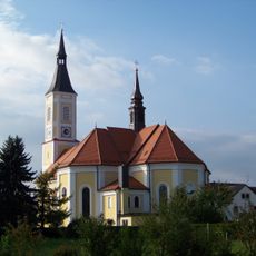
St. Peter und Paul (Ergoldsbach)
2.3 km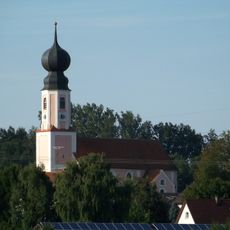
St. Andreas (Hofendorf)
4.1 km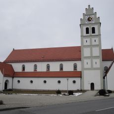
Pfarrkirche Mariä Himmelfahrt
3.3 km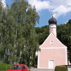
St. Agatha (Ergoldsbach)
2.3 km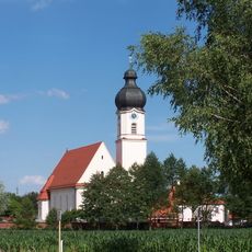
Asenkofen Filialkirche St. Laurentius
2.7 km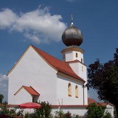
Rohrberg Filialkirche St. Jakobus der Ältere
3.9 km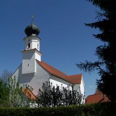
Winklsaß, Filialkirche St. Peter
3.2 km
Schutz von Landschaftsteilen in der Marktgemeinde Ergoldsbach, Landkreis Mallersdorf (LSG Kapellenberg)
2.4 km
Evangelisch-lutherische Kirche
2.4 km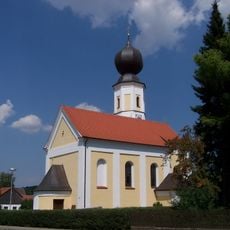
Iffelkofen St. Stephan
27 m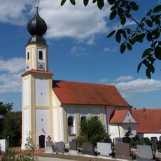
Sankt Petrus (Langenhettenbach)
3.5 km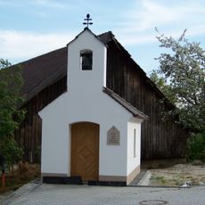
Grubmühle, Ortskapelle
4.3 km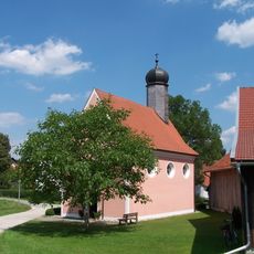
St. Michael (Unterdörnbach)
2.7 km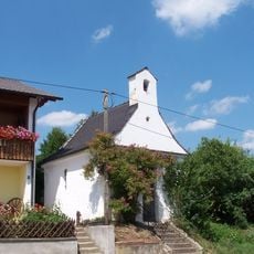
Oberdörnbach Dreifaltigkeitskapelle
2.9 km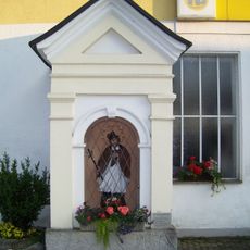
Nischenkapelle, Bildstock
2.2 km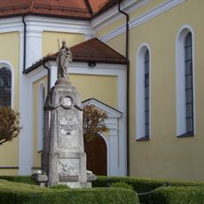
Kriegerdenkmal
2.3 km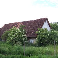
Kleinbauernhaus
2.9 km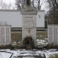
War memorial
2.5 km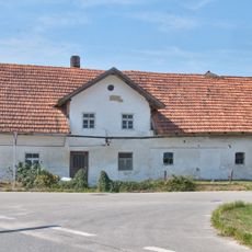
Kleinbauernhaus
3.3 km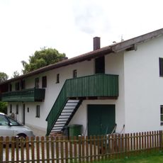
Ehemaliges Kleinbauernhaus
3.4 km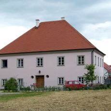
Ehemaliges Pfarrhaus
2.7 km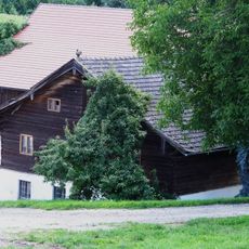
Bauernhaus
3 km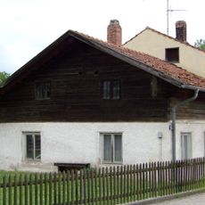
Kleinhaus
2.9 km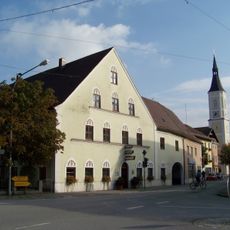
Gasthof
2.2 km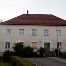
Pfarrhaus
2.3 km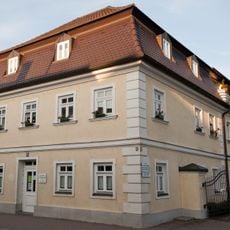
Wohnhaus
2.3 km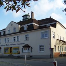
Wohn- und Geschäftshaus
2 kmReviews
Visited this place? Tap the stars to rate it and share your experience / photos with the community! Try now! You can cancel it anytime.
Discover hidden gems everywhere you go!
From secret cafés to breathtaking viewpoints, skip the crowded tourist spots and find places that match your style. Our app makes it easy with voice search, smart filtering, route optimization, and insider tips from travelers worldwide. Download now for the complete mobile experience.

A unique approach to discovering new places❞
— Le Figaro
All the places worth exploring❞
— France Info
A tailor-made excursion in just a few clicks❞
— 20 Minutes