
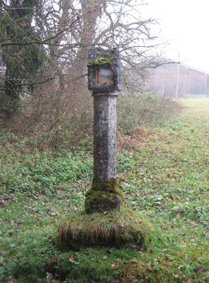
Bildstock, kilian; Tuffpfeiler, 17. Jahrhundert, westlich an der Straße
Location: Weyarn
Address: Nähe Kilian
GPS coordinates: 47.82690,11.80011
Latest update: March 4, 2025 15:38
Günderer 1
1 km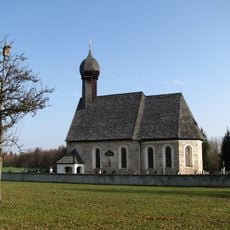
Sankt Jakobus der Ältere
456 m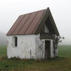
St. Leonhard
347 m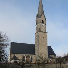
St. Georg
2.9 km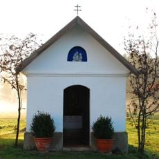
Hofkapelle
2.7 km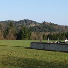
Taubenberg
985 m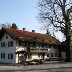
Gotzinger Trommel
495 m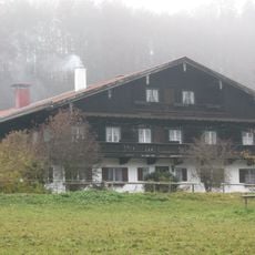
Westin 1
496 m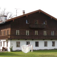
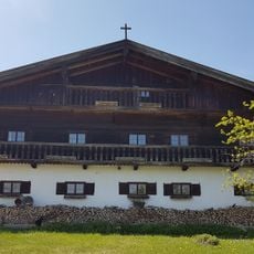
Wohnteil des Bauernhauses ''Beim Huber''
1.8 km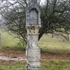
Bildstock
444 m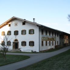
Ehemals Klostermühle von Weyarn, sogenannte Herrenmühle
1.4 km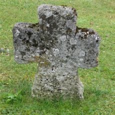
Steinkreuz
1.6 km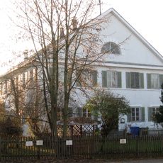
Pfarrhaus
2.9 km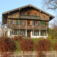
Burgstraße 7
2.1 km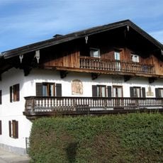
Bauernhaus ''Beim Gartmoar''
1.8 km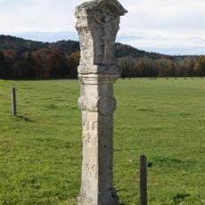
Bildstock
2.6 km
Wasserschloss Reisach
1.1 km
Ehemals Bauernhaus mit Schmiede
2.7 km
Denkmal in Form eines Obelisken
2.6 km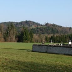
Taubenberg
2.6 km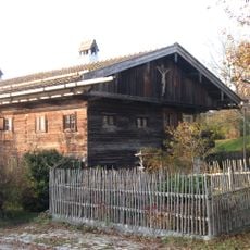
Burgstraße 1
2 km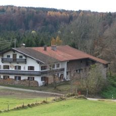
Einfirsthof ''Beim Saliterer''
1.6 km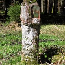
Bildstock
2.9 km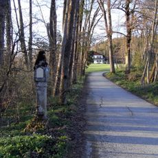
Bildstock
2.8 km
Meßnerweg 5
2.9 km
Mangfalltal
1.7 km
Bauernhaus
1.4 km
Ehemalige Dorfschule
544 mVisited this place? Tap the stars to rate it and share your experience / photos with the community! Try now! You can cancel it anytime.
Discover hidden gems everywhere you go!
From secret cafés to breathtaking viewpoints, skip the crowded tourist spots and find places that match your style. Our app makes it easy with voice search, smart filtering, route optimization, and insider tips from travelers worldwide. Download now for the complete mobile experience.

A unique approach to discovering new places❞
— Le Figaro
All the places worth exploring❞
— France Info
A tailor-made excursion in just a few clicks❞
— 20 Minutes