
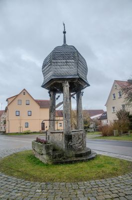
Kettenbrunnen, oktogonales Steinbecken mit drei Steinsäulen und Zwiebeldach, 17./18. Jahrhundert
Location: Gollhofen
Address: Kettenbrunnen
GPS coordinates: 49.56944,10.19216
Latest update: March 18, 2025 03:47
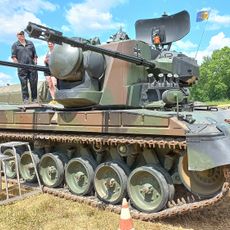
Museum of Civil and Defense Technology
3.8 km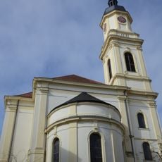
St. Johannes der Täufer
3.8 km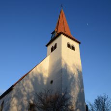
St. Johannis
233 m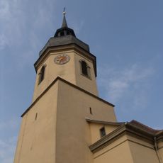
Evangelische Kirche
2.4 km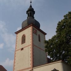
St. Georg
3.5 km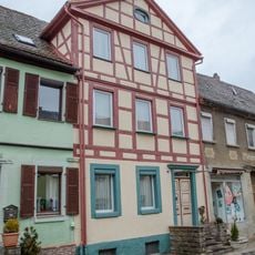
Neue Gasse 4
3.7 km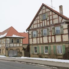
Herrnberchtheim 163
2.6 km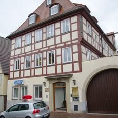
Marktplatz 7
3.8 km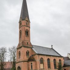
Mariä Himmelfahrt
3.6 km
Würzburger Straße 5a
3.7 km
Marktplatz 11
3.8 km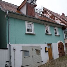
Wohnhaus
3.7 km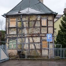
Wohnhaus
3.8 km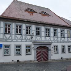
Ehemaliger Gasthof und Posthalterei
3.8 km
Schloßstraße 9
3.8 km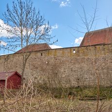
Kirchhofbefestigung Ringstraße 11 in Gollhofen
236 m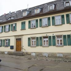
Neue Gasse 8
3.7 km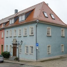
Doppelhaus
3.7 km
Marktplatz 16
3.8 km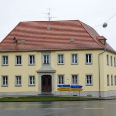
Wohnhaus
3.6 km
Kettenbrunnen 9
27 m
Amtsgartenweg 13
3.7 km
Adelhofener Straße
3.6 km
Residential and commercial building Marktplatz 19
3.8 km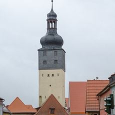
Würzburger Tor (Uffenheim)
3.7 km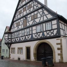
Wohnhaus
3.7 km
City walls of Uffenheim
3.7 km
Ringstraße 13
202 mReviews
Visited this place? Tap the stars to rate it and share your experience / photos with the community! Try now! You can cancel it anytime.
Discover hidden gems everywhere you go!
From secret cafés to breathtaking viewpoints, skip the crowded tourist spots and find places that match your style. Our app makes it easy with voice search, smart filtering, route optimization, and insider tips from travelers worldwide. Download now for the complete mobile experience.

A unique approach to discovering new places❞
— Le Figaro
All the places worth exploring❞
— France Info
A tailor-made excursion in just a few clicks❞
— 20 Minutes