
Amtshaus, cultural heritage monument D-6-75-147-130 (0) in Marktbreit, Bavaria
Location: Marktbreit
Address: Pfarrer-Geyer-Straße 2
GPS coordinates: 49.63723,10.12076
Latest update: April 3, 2025 11:01


Mainbrücke Marktbreit
3.4 km
Mautpyramide
1.8 km
Pfarrkirche
90 m
Gnodstädter Sandstein
853 m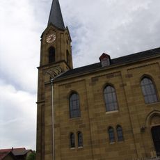
Saalkirche
1.4 km
Pfarrkirche
2.5 km
Friedhof
3.5 km
Friedhof
107 m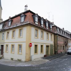
Wohnhaus
3.6 km
Bauernhaus
321 m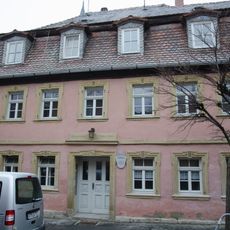
Bürgerhaus
3.6 km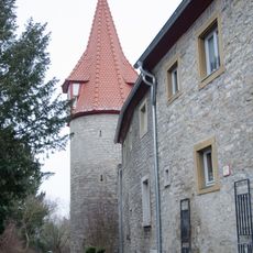
Stegturm
3.6 km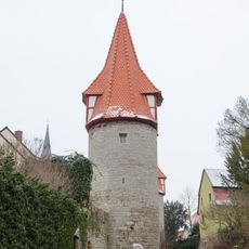
Fallmeisterturm Marktbreit
3.6 km
Wohnstallhaus
232 m
Hoftor
319 m
Villa
3.6 km
Gasthaus
3.6 km
Wohnhaus
3.5 km
Wohnhaus
3.5 km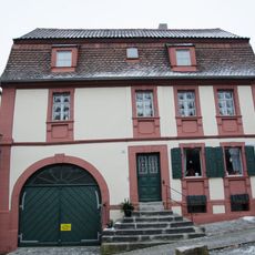
Wohnhaus
3.5 km
Bauernhaus
249 m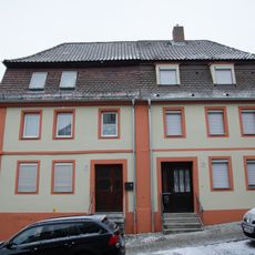
Wohnhaus
3.5 km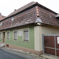
Wohnhaus
3.6 km
Bauernhaus
79 m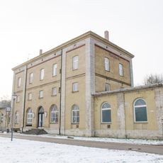
Station building at Marktbreit station
3.5 km
Pfarrhaus
17 m
Bauernhaus
102 m
Bauernhaus
36 mReviews
Visited this place? Tap the stars to rate it and share your experience / photos with the community! Try now! You can cancel it anytime.
Discover hidden gems everywhere you go!
From secret cafés to breathtaking viewpoints, skip the crowded tourist spots and find places that match your style. Our app makes it easy with voice search, smart filtering, route optimization, and insider tips from travelers worldwide. Download now for the complete mobile experience.

A unique approach to discovering new places❞
— Le Figaro
All the places worth exploring❞
— France Info
A tailor-made excursion in just a few clicks❞
— 20 Minutes