
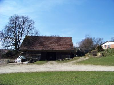
Stadel eines ehemaligen Pfarrhofs
Stadel eines ehemaligen Pfarrhofs, blockbauweise mit Satteldach, 18. Jahrhundert
Location: Postau
Address: Kreutweg 3
GPS coordinates: 48.66678,12.28009
Latest update: March 4, 2025 11:30
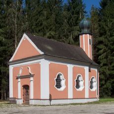
Kapelle Zum Herrgott auf der Wies
2.2 km
St. Vitus
2.7 km
Cultural heritage D-2-7339-0208 in Essenbach
1.8 km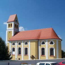
Paindlkofen Sankt Stefan (Ergoldsbach)
2.1 km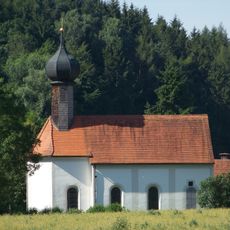
Unterköllnbach St. Nikolaus
2.2 km
Katholische Nebenkirche Veit
2.7 km
Barocker Turm der katholischen Pfarrkirche Dionysius von Paris
2.8 km
Kirche St. Antonius Hölskofen
1.8 km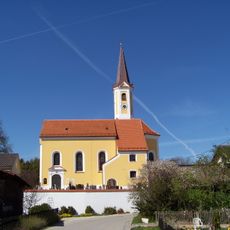
St. Jakob
46 m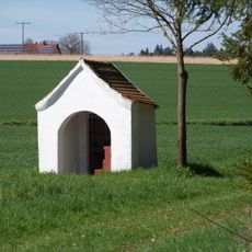
Reicherstetten Feldkapelle Maria-Hilf (Ergoldsbach)
2.2 km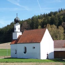
Katholische Kirche Ulrich von Augsburg und Martin von Tours
1.5 km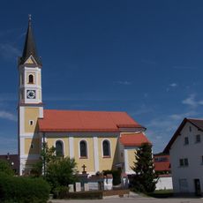
Katholische Kirche Verkündigung des Herrn
2.9 km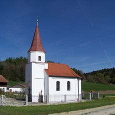
Kirchthann St. Sebastian
495 m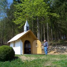
Irlsbrunn St. Heinrich u. St. Josef
1.7 km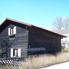
Getreidekasten
81 m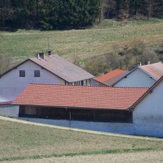
Traidboden eines Mehrseithofs
515 m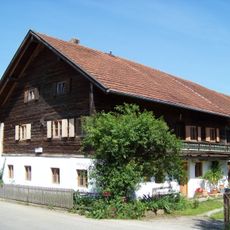
Wohnstallhaus eines Dreiseithofs mit Stadel
2.9 km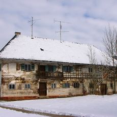
Altes Pfarrhaus
2.8 km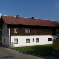
Wohnstallhaus
2.8 km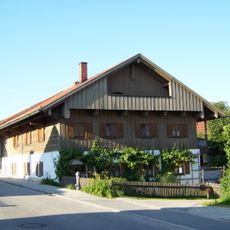
Wohnstallhaus eines ehemaligen Hakenhofs mit Stadel
2.6 km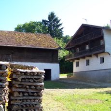
Wohnstallhaus mit Stadel
179 m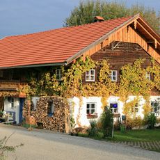
Wohnstallhaus
2.1 km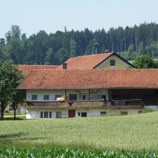
Wohnstallhaus eines ehemaligen Dreiseithofs
2.2 km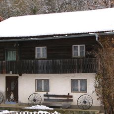
Ehemaliges Wohnstallhaus
2.8 km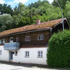
Mittertennhaus
2.3 km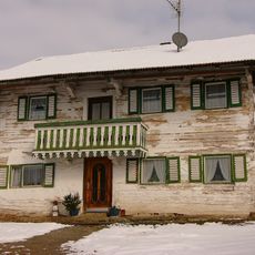
Bauernhaus
2.8 km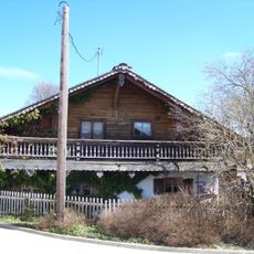
Ehemalige Handwerkersölde
83 m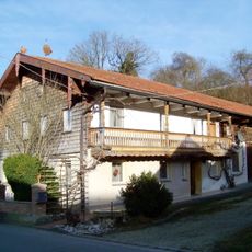
Bauernhaus
2.1 kmReviews
Visited this place? Tap the stars to rate it and share your experience / photos with the community! Try now! You can cancel it anytime.
Discover hidden gems everywhere you go!
From secret cafés to breathtaking viewpoints, skip the crowded tourist spots and find places that match your style. Our app makes it easy with voice search, smart filtering, route optimization, and insider tips from travelers worldwide. Download now for the complete mobile experience.

A unique approach to discovering new places❞
— Le Figaro
All the places worth exploring❞
— France Info
A tailor-made excursion in just a few clicks❞
— 20 Minutes