
Wohnstallhaus, building in Gerach, Upper Franconia, Germany
Location: Gerach
Address: Untere Dorfstraße 11
GPS coordinates: 50.03156,10.80436
Latest update: March 6, 2025 00:51

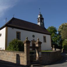
Dorfkirche
2.8 km
Kirche
2.1 km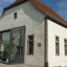
Synagoge
1.9 km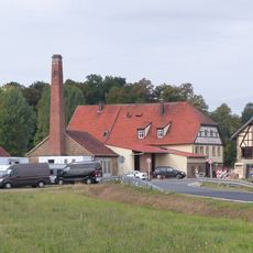
Mühle
3.1 km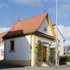
Lourdeskapelle
2.2 km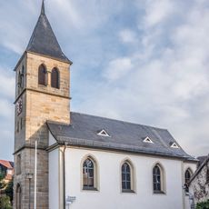
Kirche
3.3 km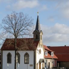
Kapelle
1.6 km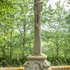
Baudenkmal
195 m
Cultural heritage D-4-71-175-11 in Reckendorf
2 km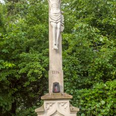
Wegkreuz
347 m
Cultural heritage D-4-71-175-3 in Reckendorf
2.2 km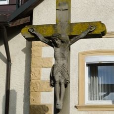
Kreuz
1.5 km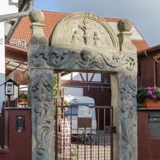
Tor
2.2 km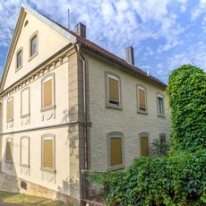
Ehemaliges Gasthaus zum Goldenen Hirschen
82 m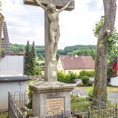
Kreuz
362 m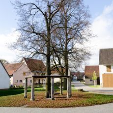
Dorflinde
2.8 km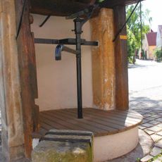
Cultural heritage D-4-71-175-2 in Reckendorf
2.2 km
Baudenkmal
2.2 km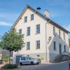
Ehemaliges Schulhaus
3.3 km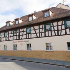
Gasthaus
2.1 km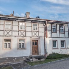
Bauernhaus
3.2 km
Gasthaus
2 km
Nebengebäude
82 m
Köblergut
111 m
Cultural heritage D-4-71-133-13 in Gerach
1.5 km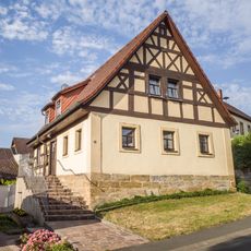
Köblergut
136 m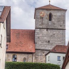
Kuratiekirche
105 m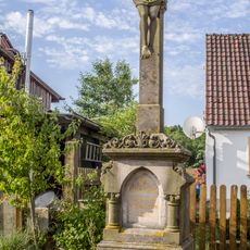
Wegkreuz
187 mReviews
Visited this place? Tap the stars to rate it and share your experience / photos with the community! Try now! You can cancel it anytime.
Discover hidden gems everywhere you go!
From secret cafés to breathtaking viewpoints, skip the crowded tourist spots and find places that match your style. Our app makes it easy with voice search, smart filtering, route optimization, and insider tips from travelers worldwide. Download now for the complete mobile experience.

A unique approach to discovering new places❞
— Le Figaro
All the places worth exploring❞
— France Info
A tailor-made excursion in just a few clicks❞
— 20 Minutes