
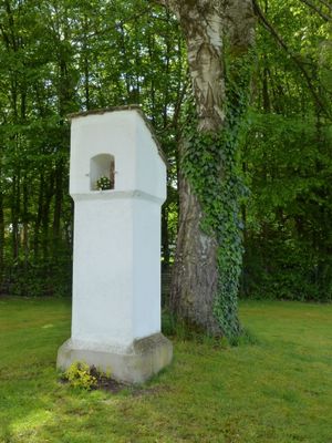
Bildstock, wohl 17. Jahrhundert
Location: Kottgeisering
Address: Nähe Keckweg
GPS coordinates: 48.11946,11.13475
Latest update: April 24, 2025 04:35
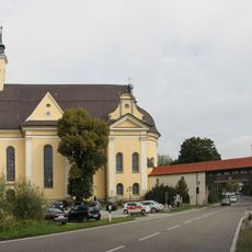
St. Rasso
1.6 km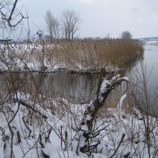
Ampermoos
1.6 km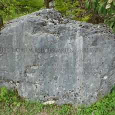
Forstlicher Versuchsgarten Grafrath
2.2 km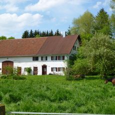
Dorfstr.20 (Kottgeisering)
636 m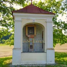
St. Florian (Kottgeisering)
1.9 km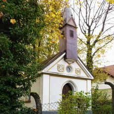
Herz-Jesu-Kapelle (Wildenroth)
2.2 km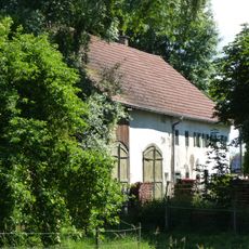
Dorfstr.16 (Kottgeisering)
586 m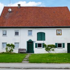
Schmiede (Kottgeisering)
186 m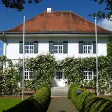
Schulstr.2 (Kottgeisering)
440 m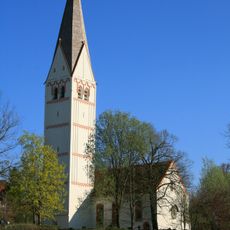
Mariä Himmelfahrt
1.9 km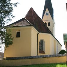
St. Mauritius
2.2 km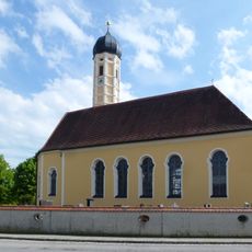
St. Valentin
398 m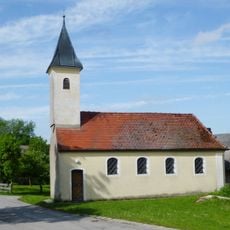
Kapelle St. Rochus und Sebastian
2 km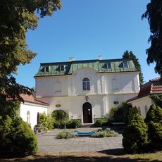
Villa
1.6 km
Villa
2.6 km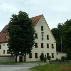
Kloster Grafrath
1.7 km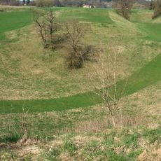
Glaziogene Landschaft SE von Unteralting
2.6 km
Ampermoos
2.1 km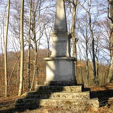
Rasso-Denkmal
2.7 km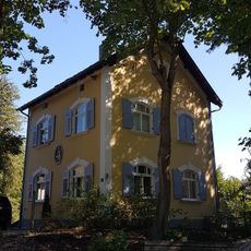
Landhaus
1.4 km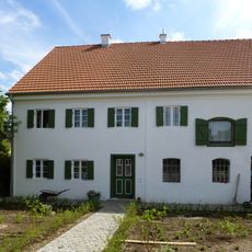
Ehemals Bauernhaus
291 m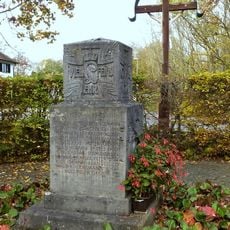
Kriegerdenkmal
2.3 km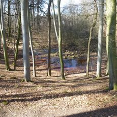
Toteiskessel E von Wildenroth
2.6 km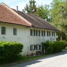
Peutenmühle 1 (Peutenmühle)
1.6 km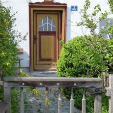
Ehemals Bauernhaus
317 m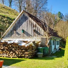
Ehemals Kleinbauernhaus
2.5 km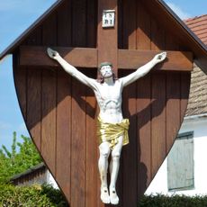
Corpus des Wegkreuzes
490 m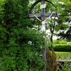
Wegkreuz
293 mVisited this place? Tap the stars to rate it and share your experience / photos with the community! Try now! You can cancel it anytime.
Discover hidden gems everywhere you go!
From secret cafés to breathtaking viewpoints, skip the crowded tourist spots and find places that match your style. Our app makes it easy with voice search, smart filtering, route optimization, and insider tips from travelers worldwide. Download now for the complete mobile experience.

A unique approach to discovering new places❞
— Le Figaro
All the places worth exploring❞
— France Info
A tailor-made excursion in just a few clicks❞
— 20 Minutes