
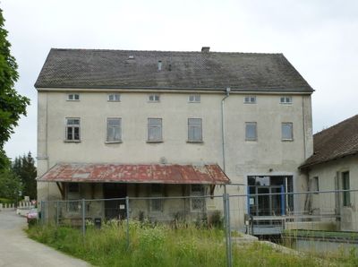
Ehemalige Mühle, hoher, kubischer Satteldachbau mit Ecklisenen, 1882/83 nach Plänen des Indersdorfer Baumeisters P. Karg errichtet, 1922 um das Turbinenhaus nach Süden erweitert und 1948 auf Höhe des Mühlenbaus aufgestockt; mit technischer Ausstattung;
Location: Weichs
Address: Am Mühlbach 1
GPS coordinates: 48.37724,11.41290
Latest update: March 8, 2025 12:46
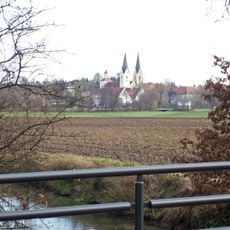
Kloster Indersdorf
3.1 km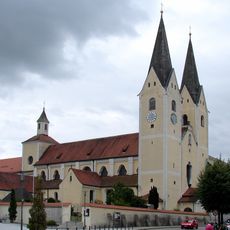
Mariä Himmelfahrt
3.1 km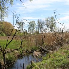
Weichser Moos
1.5 km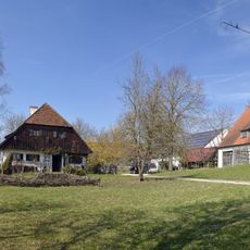
Ehemals Bauernhaus
2.5 km
Augustiner Chorherren Museum
3.1 km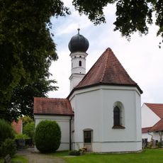
Sankt Georg & Maria
2.5 km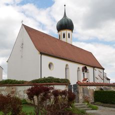
St. Emmeram
2 km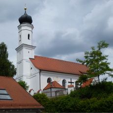
Katholische Filialkirche St Stephan
2.2 km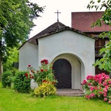
Antoniuskapelle
865 m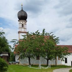
Nikolauskapelle
2.2 km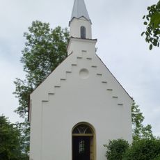
Marienkapelle
2.9 km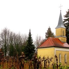
Friedhofskapelle Alter Friedhof
2.9 km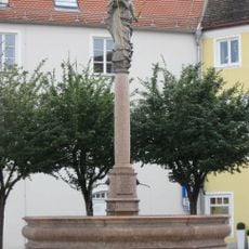
Brunnen
3.2 km
Ehemals Ökonomiegebäude des Mühlenanwesens
38 m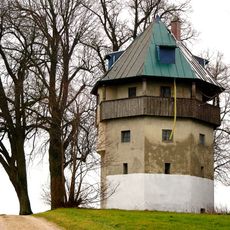
Ehemaliger Wasserturm
3 km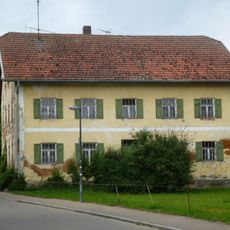
Bauernhof
339 m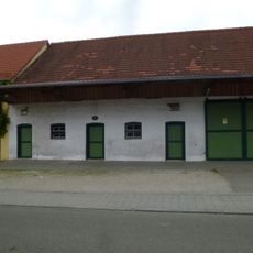
Mörtelplastik Freiherrnstr.2
333 m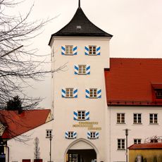
Unterer Torturm
3.1 km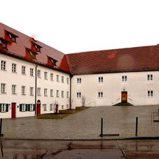
Pfarrhaus
3.1 km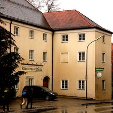
Gasthof Klosterbrauerei
3.2 km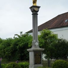
Mariensäule
207 m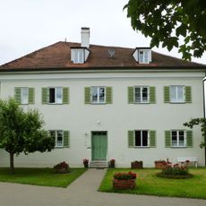
Ehemals Benefiziatenhaus
195 m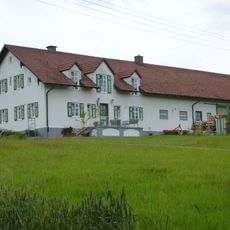
Wohnstallhaus
2 km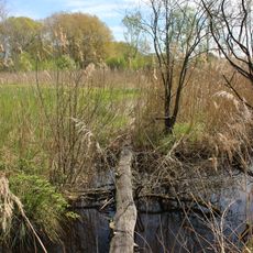
Naturschutzgebiet 'Weichser Moos'
1.5 km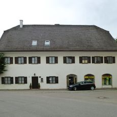
Ehemals Hospital
156 m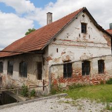
Hammerschmiede
2.6 km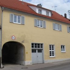
Wohnhaus mit Durchfahrt
3.2 km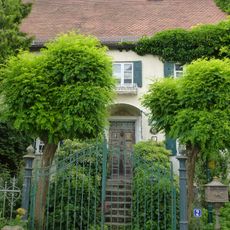
Müller-Wohnhaus (Weichs)
28 mVisited this place? Tap the stars to rate it and share your experience / photos with the community! Try now! You can cancel it anytime.
Discover hidden gems everywhere you go!
From secret cafés to breathtaking viewpoints, skip the crowded tourist spots and find places that match your style. Our app makes it easy with voice search, smart filtering, route optimization, and insider tips from travelers worldwide. Download now for the complete mobile experience.

A unique approach to discovering new places❞
— Le Figaro
All the places worth exploring❞
— France Info
A tailor-made excursion in just a few clicks❞
— 20 Minutes