
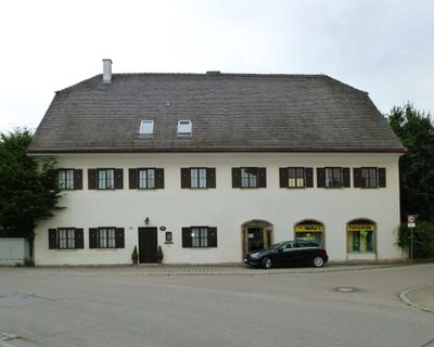
Ehemals Hospital, zweigeschossig im Kern von 1566, nach Brand 1818 instandgesetzt, gleichzeitig neues Dachwerk mit beidseitigem Schopfwalm
Location: Weichs
Address: Freiherrnstraße 32
GPS coordinates: 48.37841,11.41405
Latest update: March 5, 2025 14:29
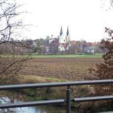
Kloster Indersdorf
3.3 km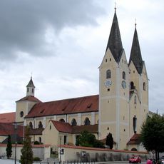
Mariä Himmelfahrt
3.3 km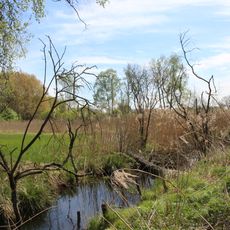
Weichser Moos
1.4 km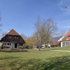
Ehemals Bauernhaus
2.3 km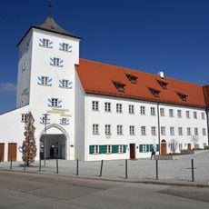
Augustiner Chorherren Museum
3.3 km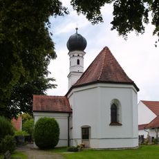
Sankt Georg & Maria
2.4 km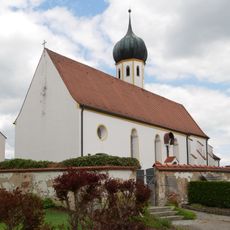
St. Emmeram
2.1 km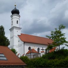
Katholische Filialkirche St Stephan
2.1 km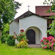
Antoniuskapelle
1 km
Nikolauskapelle
2.1 km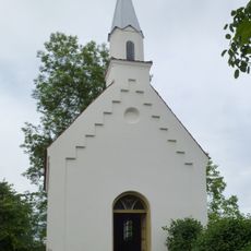
Marienkapelle
2.8 km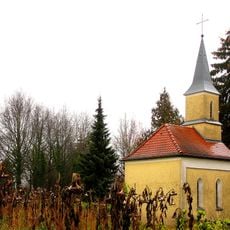
Friedhofskapelle Alter Friedhof
3 km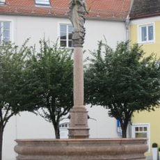
Brunnen
3.3 km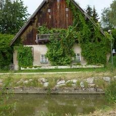
Ehemals Ökonomiegebäude des Mühlenanwesens
166 m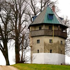
Ehemaliger Wasserturm
3.2 km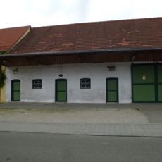
Mörtelplastik Freiherrnstr.2
194 m
Ehemalige Mühle
156 m
Unterer Torturm
3.3 km
Pfarrhaus
3.2 km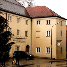
Gasthof Klosterbrauerei
3.3 km
Bauernhof
192 m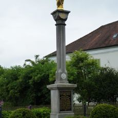
Mariensäule
54 m
Wohnstallhaus
1.8 km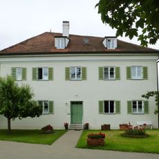
Ehemals Benefiziatenhaus
56 m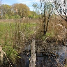
Naturschutzgebiet 'Weichser Moos'
1.4 km
Müller-Wohnhaus (Weichs)
140 m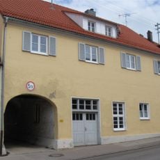
Wohnhaus mit Durchfahrt
3.3 km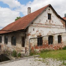
Hammerschmiede
2.7 kmVisited this place? Tap the stars to rate it and share your experience / photos with the community! Try now! You can cancel it anytime.
Discover hidden gems everywhere you go!
From secret cafés to breathtaking viewpoints, skip the crowded tourist spots and find places that match your style. Our app makes it easy with voice search, smart filtering, route optimization, and insider tips from travelers worldwide. Download now for the complete mobile experience.

A unique approach to discovering new places❞
— Le Figaro
All the places worth exploring❞
— France Info
A tailor-made excursion in just a few clicks❞
— 20 Minutes