
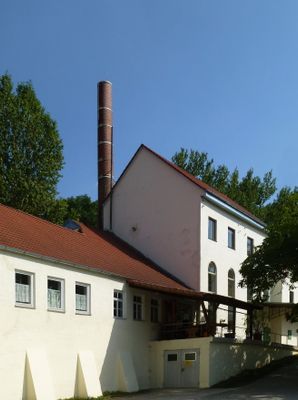
Brauerei Mariabrunn, winkelförmige Anlage, östlich Brauerei, mit Satteldach, 1870, Sudhaus 1907, nördlich anschließend Wirtschaftsgebäude, zweigeschossige Satteldachbauten des 18.-20. Jahrhundert
Location: Röhrmoos
Address: Mariabrunn 1
GPS coordinates: 48.31261,11.47844
Latest update: April 11, 2025 16:52
Schießplatz Hebertshausen
3.3 km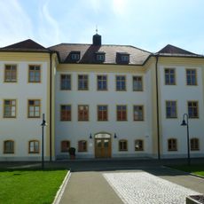
Ehem. Schloß (Schönbrunn (Lkr. Dachau))
1.9 km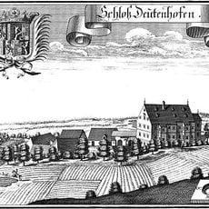
Schloss Deutenhofen
2 km
Hl. Kreuz (Schönbrunn)
2 km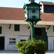
Taubenkobel
3.7 km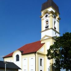
Katholische Filialkirche Hl. Kreuz
2 km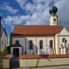
Mariä Geburt
2.4 km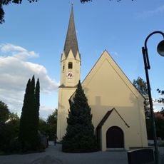
St. Kastulus
3.8 km
St. Margareth (Kleininzemoos)
3.6 km
St. Johannes und Paulus
3.1 km
Allerheiligster Welterlöser
2.4 km
St. Nikolaus (Sulzrain)
2.8 km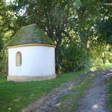
St. Sebastian
2 km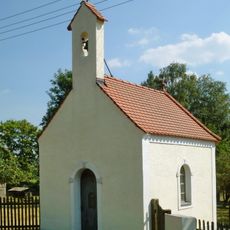
Lourdeskapelle
922 m
St. Maria
3.2 km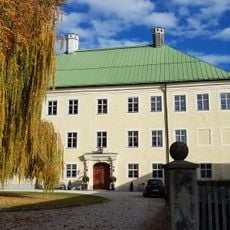
Schloss Unterweilbach
2.3 km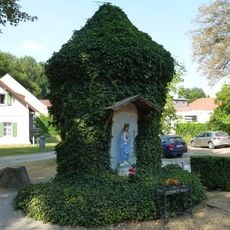
Brunnenhaus Mariabrunn
39 m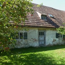
Kleinbauernhaus
1.5 km
Bauernhaus
1.1 km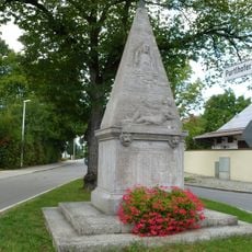
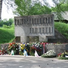
Kriegerdenkmal (Ampermoching)
1.1 km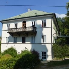
Gasthaus Mariabrunn
69 m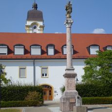
Mariensäule Schönbrunn
1.9 km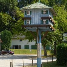
Taubenkobel Mariabrunn
32 m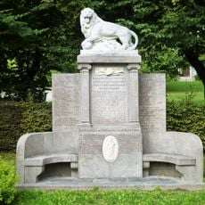
Kriegerdenkmal
2.5 km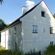
Ehemalige Schule
2.2 km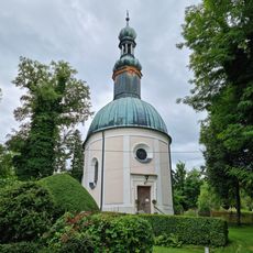
Zentralbau
98 m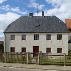
Ehemaliges Benefiziatenhaus
2.4 km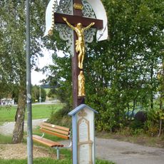
Wegkreuz (Kleininzemoos)
3.7 kmReviews
Visited this place? Tap the stars to rate it and share your experience / photos with the community! Try now! You can cancel it anytime.
Discover hidden gems everywhere you go!
From secret cafés to breathtaking viewpoints, skip the crowded tourist spots and find places that match your style. Our app makes it easy with voice search, smart filtering, route optimization, and insider tips from travelers worldwide. Download now for the complete mobile experience.

A unique approach to discovering new places❞
— Le Figaro
All the places worth exploring❞
— France Info
A tailor-made excursion in just a few clicks❞
— 20 Minutes