
Friedensbäume, sogenannte Friedenseiche, eine Eiche und zwei Linden, gesetzt 1871 zur Erinnerung an das Ende des Deutsch-Französischer Krieg
Location: Ebersberg
Part of: Kriegerdenkmal
Address: Sudetenstraße / Floßmannstraße
GPS coordinates: 48.07875,11.95877
Latest update: June 8, 2025 12:15
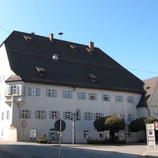
Ehemalige Klostertaverne, jetzt Rathaus
750 m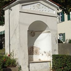
Nischenkapelle
919 m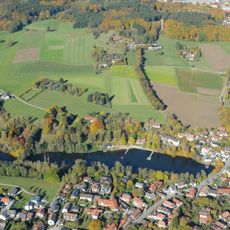
Schutz der Weiherkette in der Stadt Ebersberg als LSG
579 m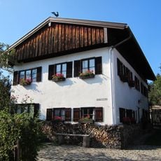
Ehemaliges Armen- und Krankenhaus
737 m
Ehem. Klosterbrauerei
918 m
Cultural heritage D-1-7937-0013 in Ebersberg
842 m
Gasthof
715 m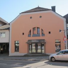
Kino im alten Kino
683 m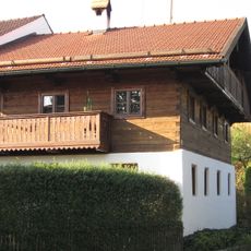
Wohnteil des ehemaligen Bauernhofs
582 m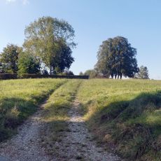
Hupfauer Höhe in Ebersberg
658 m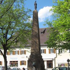
Mariensäule
836 m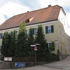
Gasthaus Neuwirt
851 m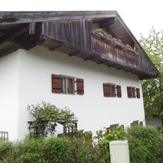
Wohnteil des ehemaligen Einfirsthofs
683 m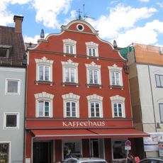
Ehemalige Schmiede und Krämerei
827 m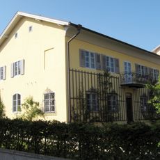
Ehemaliges Pfarrhaus
901 m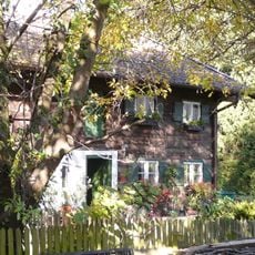
Ehemaliger Bauernhof
802 m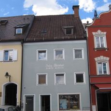
Ehemaliger Mehlhandel und Geburtshaus des Forstbiologen Pater Candid Huber
821 m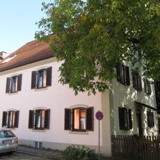
Wohnhaus
807 m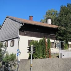
Ehem. Bauernhof
652 m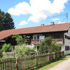
Ehemaliger Einfirsthof
657 m
Allee
853 m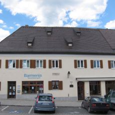
Ehem. Gasthaus Kyrmayr
800 m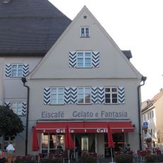
Ehemalige Herberge
767 m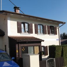
Wohnhaus
924 m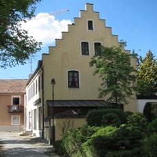
Wohn- und Geschäftshaus
877 m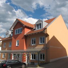
Bauernhaus
635 m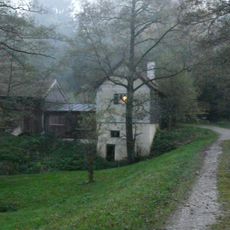
Ehemaliges Wasserhaus am Langweiher
422 m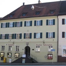
Ehem. Schulhaus
788 mReviews
Visited this place? Tap the stars to rate it and share your experience / photos with the community! Try now! You can cancel it anytime.
Discover hidden gems everywhere you go!
From secret cafés to breathtaking viewpoints, skip the crowded tourist spots and find places that match your style. Our app makes it easy with voice search, smart filtering, route optimization, and insider tips from travelers worldwide. Download now for the complete mobile experience.

A unique approach to discovering new places❞
— Le Figaro
All the places worth exploring❞
— France Info
A tailor-made excursion in just a few clicks❞
— 20 Minutes