
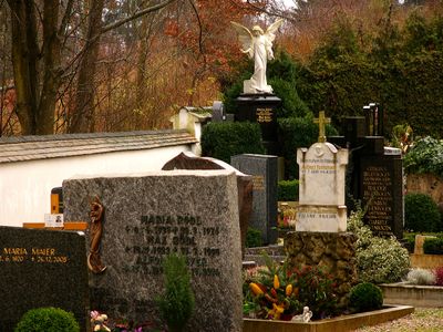
Friedhof mit Umfassungsmauer
Friedhof mit Umfassungsmauer, um 1800
Location: Markt Indersdorf
Address: Bartholomäusweg 6
GPS coordinates: 48.36008,11.37386
Latest update: March 8, 2025 00:09
Kloster Indersdorf
786 m
Mariä Himmelfahrt (Markt Indersdorf)
771 m
Schloss Arnbach
3.3 km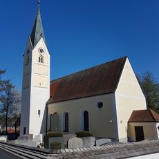
Kirche
24 m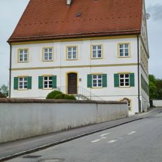
Pfarrhaus
3.3 km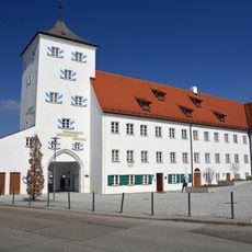
Augustiner Chorherren Museum
703 m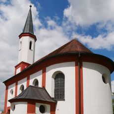
St. Mauritius
2.6 km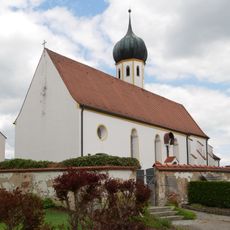
St. Emmeram
1.5 km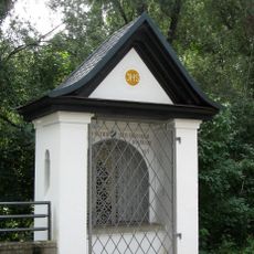
Kapelle an der Glonnbrücke
76 m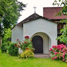
Antoniuskapelle
3 km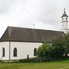
St. Ottilia
3.1 km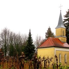
Friedhofskapelle Alter Friedhof
1.4 km
Im Glonntal
2.3 km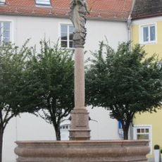
Brunnen
785 m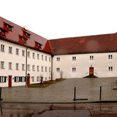
Pfarrhaus
717 m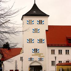
Unterer Torturm
701 m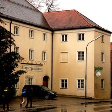
Gasthof Klosterbrauerei
740 m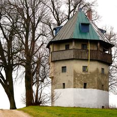
Ehemaliger Wasserturm
1.1 km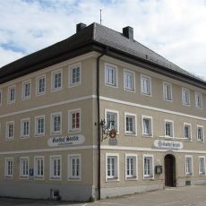
Gasthof Steidle
79 m
Zweibogige Brücke über die Glonn
85 m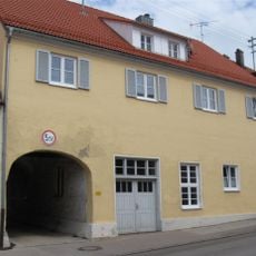
Wohnhaus mit Durchfahrt
877 m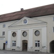
Brauerei
761 m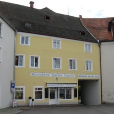
Wohnhaus
787 m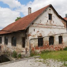
Hammerschmiede
976 m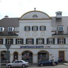
Marktplatz 12
123 m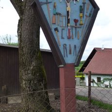
Wegkreuz mit Arma Christi
3.2 km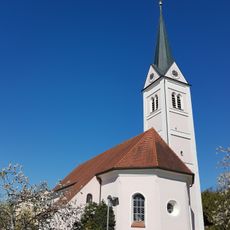
Pfarrkirche
2.7 km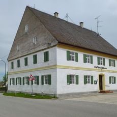
Gasthaus
3.2 kmReviews
Visited this place? Tap the stars to rate it and share your experience / photos with the community! Try now! You can cancel it anytime.
Discover hidden gems everywhere you go!
From secret cafés to breathtaking viewpoints, skip the crowded tourist spots and find places that match your style. Our app makes it easy with voice search, smart filtering, route optimization, and insider tips from travelers worldwide. Download now for the complete mobile experience.

A unique approach to discovering new places❞
— Le Figaro
All the places worth exploring❞
— France Info
A tailor-made excursion in just a few clicks❞
— 20 Minutes