
Kalvarienberg, monumentale hölzerne Kreuzigungsgruppe, Ende 19. Jahrhundert
Location: Fischbachau
Address: Nähe Birkensteinstraße
GPS coordinates: 47.71402,11.96255
Latest update: March 9, 2025 12:00
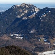
Breitenstein
2 km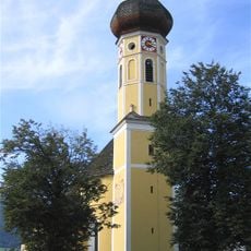
St. Martin church
1.1 km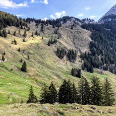
Spitzingalm
2.4 km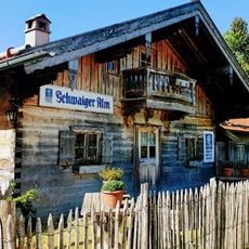
Schwaigeralm
1.3 km
Bucher Berg
1.7 km
Felstor Breitensteiner Fensterl
1.3 km
Wallfahrtskirche Mariä Himmelfahrt
147 m
Cemetery Church of the Assumption of Mary
1.2 km
Ehemalige katholische Pfarrkirche Maria Schutz, jetzt Friedhofskirche
1.2 km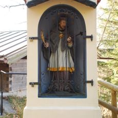
Kapellenbildstock
165 m
Ölbergkapelle
102 m
Wegkapelle
1.9 km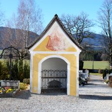
Friedhofskapelle
1.2 km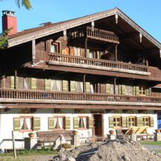
Bauernhaus, sog. Beim Oberöstner
2.7 km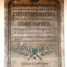
Inschrifttafel
1.5 km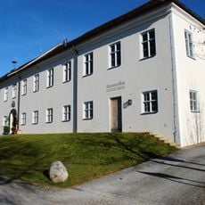
Rathaus Fischbachau
1.1 km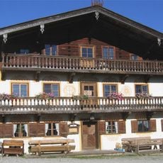
Wölflhof
3.2 km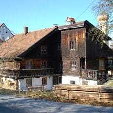
Beim Hinterbacher
1 km
Bauernhaus, sog. Beim Hürmer
2.6 km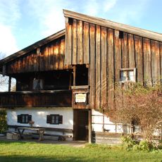
Ehemaliges Kleinbauernhaus und Schmiede, sog. Schmiedhäusl
2.7 km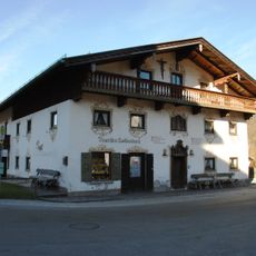
Geitau 10
2.7 km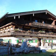
Stattliches Bauernhaus, sog. Beim Unteröstner, heute Hasenöhrl-Hof
2.7 km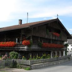
Leitzachtalstraße 115
3.1 km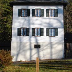
Benefiziatenhaus
181 m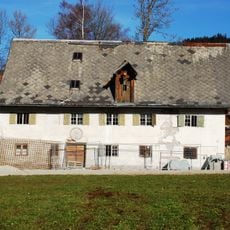
Birkensteinstraße 41
668 m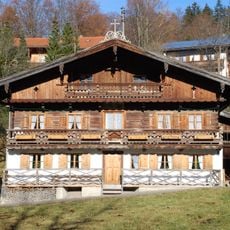
Beim Schuster
311 m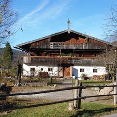
Wohnteil eines ehemaligen Bauernhauses, sog. Duneihof
2.8 km
Klösterl
136 mReviews
Visited this place? Tap the stars to rate it and share your experience / photos with the community! Try now! You can cancel it anytime.
Discover hidden gems everywhere you go!
From secret cafés to breathtaking viewpoints, skip the crowded tourist spots and find places that match your style. Our app makes it easy with voice search, smart filtering, route optimization, and insider tips from travelers worldwide. Download now for the complete mobile experience.

A unique approach to discovering new places❞
— Le Figaro
All the places worth exploring❞
— France Info
A tailor-made excursion in just a few clicks❞
— 20 Minutes