
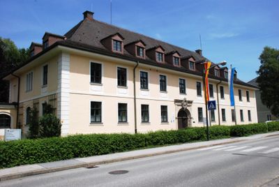
Landratsamt Miesbach, zweigeschossige Walmdachbauten, durch erdgeschossigen Zwischenbau miteinander verbunden, in modern-historisierenden Formen als Bezirksamt nach Plänen von Lorenz Grün 1914 erbaut, 1977 nach Osten erweitert
Location: Miesbach
Address: Rosenheimer Straße 1; Rosenheimer Straße 3
GPS coordinates: 47.78950,11.83621
Latest update: March 22, 2025 18:36
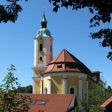
Pfarrkirche Mariä Himmelfahrt
209 m
Münchner Straße 1
92 m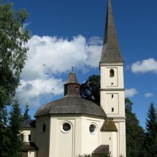
Katholische Kirche Sankt Franziskus
156 m
Lebzelterberg 1
255 m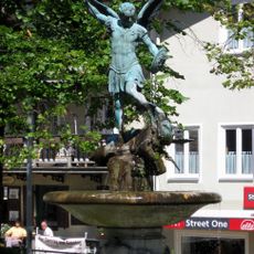
Stadtplatzbrunnen
198 m
Rosenheimer Straße 14
63 m
Haindl-Keller (Miesbach)
111 m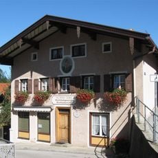
Kirchgasse 4
242 m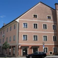
Stadtplatz 15
148 m
Waitzingerbräu
190 m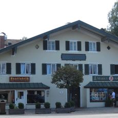
Marktplatz 1
312 m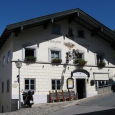
Stadtplatz 9
135 m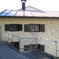
Pfarrgasse 1
247 m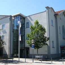
Waitzingerkeller
356 m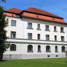
Ehemals königlich bayerisches Bezirksgericht, jetzt Amtsgericht Miesbach
104 m
Kolpingstraße 1
221 m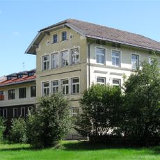
Münchner Straße 7
153 m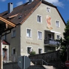
Kolpingstraße 4
229 m
Salzweg 1
143 m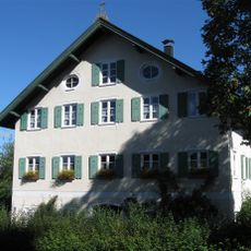
Pfarrgasse 4
232 m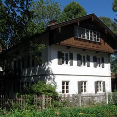
Ehemals Direktorenwohnhaus
330 m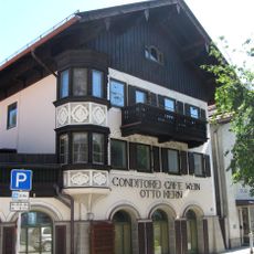
Saalbau der Konditorei Kern
337 m
Kirchgasse 8 (Miesbach)
293 m
Stadtplatz 1
202 m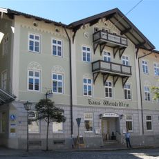
Gasthaus Wendelstein
233 m
Ehemals Schulhaus, jetzt Wohnhaus
269 m
Ledererstraße 1-3
223 m
Lebzelterberg 3
268 mVisited this place? Tap the stars to rate it and share your experience / photos with the community! Try now! You can cancel it anytime.
Discover hidden gems everywhere you go!
From secret cafés to breathtaking viewpoints, skip the crowded tourist spots and find places that match your style. Our app makes it easy with voice search, smart filtering, route optimization, and insider tips from travelers worldwide. Download now for the complete mobile experience.

A unique approach to discovering new places❞
— Le Figaro
All the places worth exploring❞
— France Info
A tailor-made excursion in just a few clicks❞
— 20 Minutes