
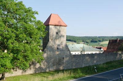
Quadratischer Turm, mit Zeltdach, 14./15. Jahrhundert; ''im Bayerischen Denkmalviewer nicht kartiert''
Location: Röttingen
Address: Obergasse 5
GPS coordinates: 49.51062,9.96641
Latest update: March 4, 2025 00:48
Burg Brattenstein
254 m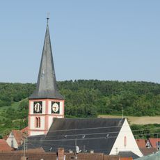
St. Kilian
110 m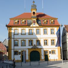
Rathaus
223 m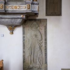
Grabstein für Petronella von Baldersheim
110 m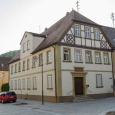
Apotheke
163 m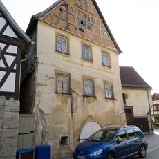
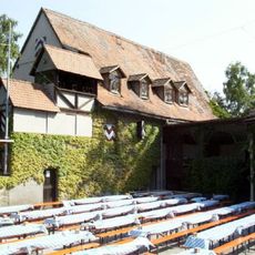
Hofanlage
197 m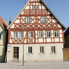
Wohngebäude
218 m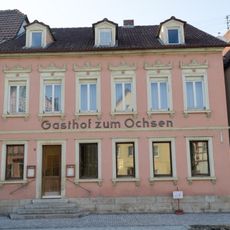
Gasthaus
178 m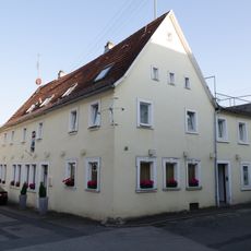
Wohngebäude
68 m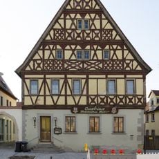
Wohngebäude
193 m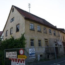
Wohngebäude
233 m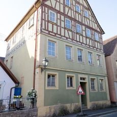
Mädchenschule
165 m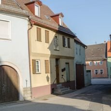
Wohngebäude
151 m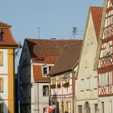
Wohngebäude
230 m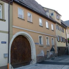
Wohngebäude
155 m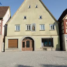
Wohngebäude
226 m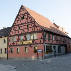
Gasthaus
230 m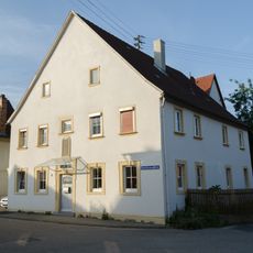
Wohngebäude
247 m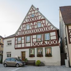
Wohngebäude
165 m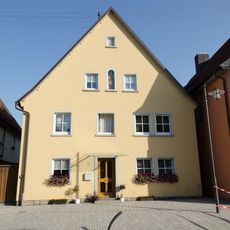
Hausmadonna
208 m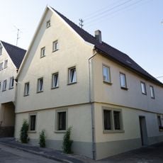
Wohnstallhaus
198 m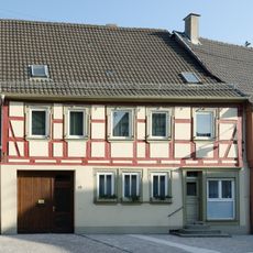
Wohngebäude
193 m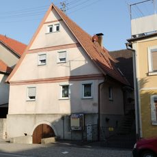
Wohngebäude
150 m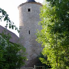
Turm der Stadtbefestigung
268 m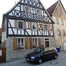
Wohngebäude
202 m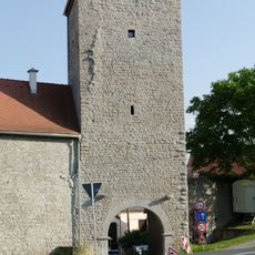
Torturm
114 m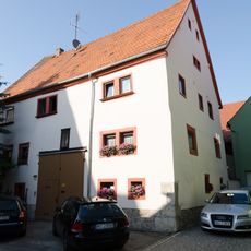
Wohngebäude
263 m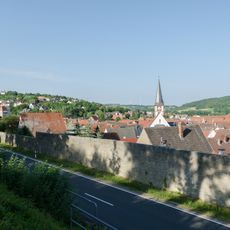
Wohngebäude
134 mReviews
Visited this place? Tap the stars to rate it and share your experience / photos with the community! Try now! You can cancel it anytime.
Discover hidden gems everywhere you go!
From secret cafés to breathtaking viewpoints, skip the crowded tourist spots and find places that match your style. Our app makes it easy with voice search, smart filtering, route optimization, and insider tips from travelers worldwide. Download now for the complete mobile experience.

A unique approach to discovering new places❞
— Le Figaro
All the places worth exploring❞
— France Info
A tailor-made excursion in just a few clicks❞
— 20 Minutes