
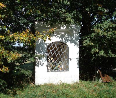
Wegkapelle, building in Starnberg, Upper Bavaria, Germany
Location: Starnberg
Address: Höchenrainer Feld
GPS coordinates: 48.01877,11.28121
Latest update: March 4, 2025 06:43
Sonnenhof
4 km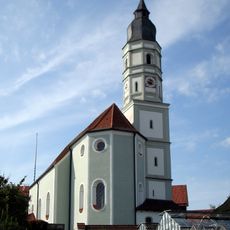
St. Mariä Himmelfahrt
4 km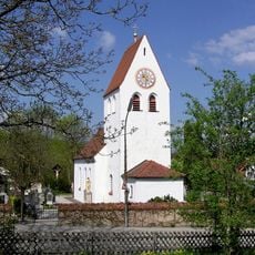
St. Michael
3.1 km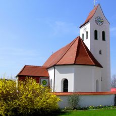
St. Johannes der Täufer (Hadorf)
491 m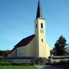
St. Bartholomäus (Maising)
3.7 km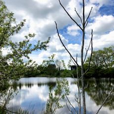
Klostermeier-Weiher
4 km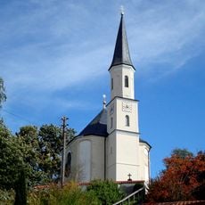
St. Martin
2.4 km
St. Ulrich
3.5 km
St. Jakob und Philipp
2.5 km
St. Stephanus
3.4 km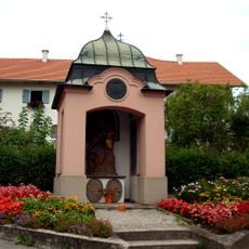
Kriegergedächtniskapelle
4 km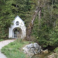
Wegkapelle am Maisinger Bach
4 km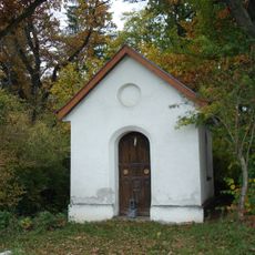
Votivkapelle
4.1 km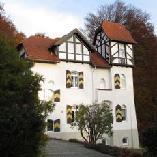
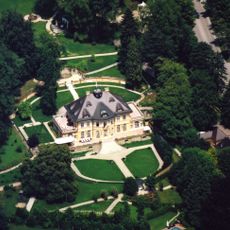
Villa Krauß
3.9 km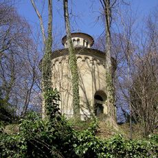
Mausoleum
3.4 km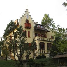
Villa Maria
3.8 km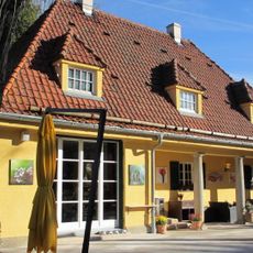
Pförtner- und Gärtnerhaus
2.8 km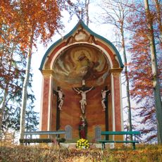
Kalvarienbergkapelle
2.1 km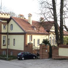
Villa Schaumburg
3.5 km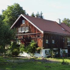
Bachweberhäusl (Maising)
3.8 km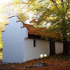
Bakehouse
3.5 km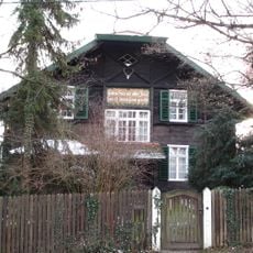
Landhaus Behles
4.1 km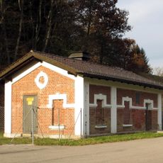
Wasserwerk
3.9 km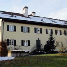
Ehem. Scheuermann-Hof (Söcking)
3.5 km
Gut Tiefenbrunn
2.7 km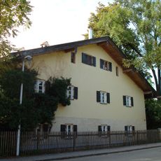
Sammerhof
3.7 km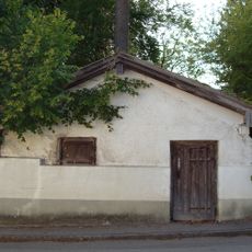
Ehemaliger Eiskeller
3.8 km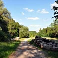
Standortübungsplatz Maising
3.3 kmReviews
Visited this place? Tap the stars to rate it and share your experience / photos with the community! Try now! You can cancel it anytime.
Discover hidden gems everywhere you go!
From secret cafés to breathtaking viewpoints, skip the crowded tourist spots and find places that match your style. Our app makes it easy with voice search, smart filtering, route optimization, and insider tips from travelers worldwide. Download now for the complete mobile experience.

A unique approach to discovering new places❞
— Le Figaro
All the places worth exploring❞
— France Info
A tailor-made excursion in just a few clicks❞
— 20 Minutes