
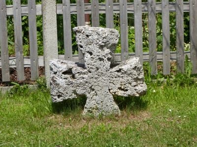
Tuffsteinkreuz, spätmittelalterlich; am westlichen Ortsausgang
Location: Böhen
Made from material: tuff
Address: Hauptstraße
GPS coordinates: 47.88116,10.29750
Latest update: March 8, 2025 22:34
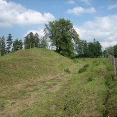
Fliehburg (Ittelsburg)
1.6 km
Burgstall Falken
1.7 km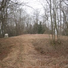
Burgstall Wolfertschwenden
2.1 km
Burgstall Hahnentanz
1.8 km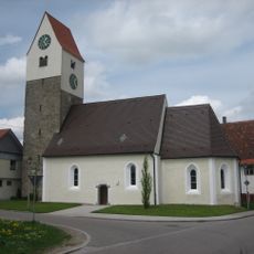
St. Leonhard (Ittelsburg)
2.3 km
Burgstall Stumpfbühl
2.2 km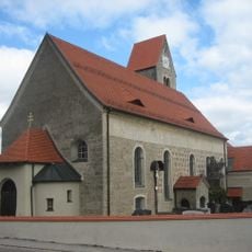
St. Georg
321 m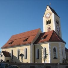
Pfarrkirche St. Vitus, Modestus und Kreszentia
2.8 km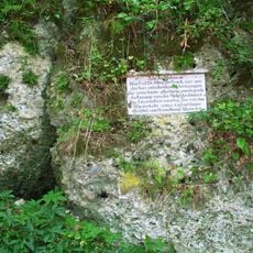
Nagelfluhfelsen
1.7 km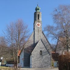
St. Wendelin
2.5 km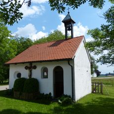
St. Joseph
2.9 km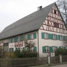
Pfarrhof (Wolfertschwenden)
2.7 km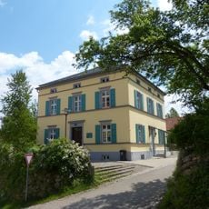
Rectory (Böhen)
326 m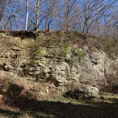
Wolfertschwendener Steige
1.7 km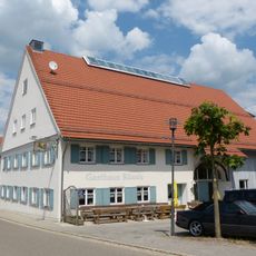
Gasthaus Rössle
272 m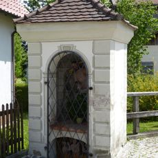
Wegkapelle
2.8 km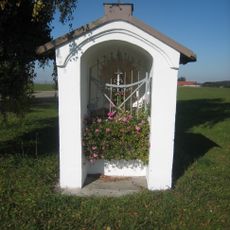
Wegkapelle
2.8 km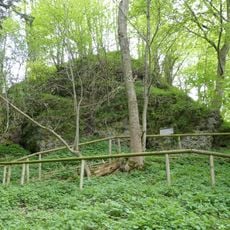
Mühlbachtal
1.7 km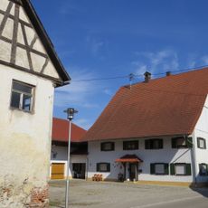
Hauptstraße 8
2.3 km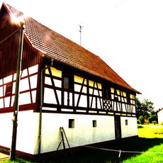
Ehemaliges Stallgebäude
2.2 km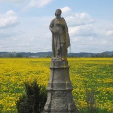
Heiliger Honorius
2 km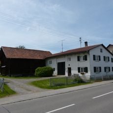
Bauernhaus
2.2 km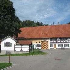
Bauernhaus
2.1 km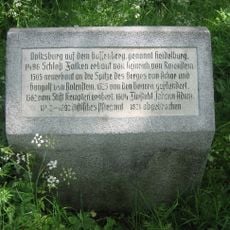
Gräben und Mauerreste einer Burg
1.7 km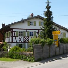
Ehemaliges Bauernhaus
3 km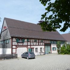
Pfarrhof
2.7 km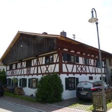
Ehemaliges Bauernhaus
2.9 km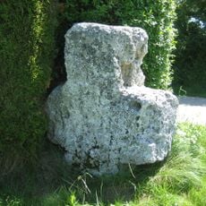
Tuffsteinkreuz
2.7 kmReviews
Visited this place? Tap the stars to rate it and share your experience / photos with the community! Try now! You can cancel it anytime.
Discover hidden gems everywhere you go!
From secret cafés to breathtaking viewpoints, skip the crowded tourist spots and find places that match your style. Our app makes it easy with voice search, smart filtering, route optimization, and insider tips from travelers worldwide. Download now for the complete mobile experience.

A unique approach to discovering new places❞
— Le Figaro
All the places worth exploring❞
— France Info
A tailor-made excursion in just a few clicks❞
— 20 Minutes