
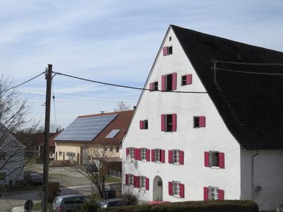
Ehemaliger Zehentstadel
Ehemaliger Zehentstadel, zweigeschossiger Satteldachbau mit korbbogigen Einfahrten, 18. Jahrhundert, erneuert
Location: Heimertingen
Address: Molkereiweg 2, Untere Straße 6
GPS coordinates: 48.04078,10.15267
Latest update: March 3, 2025 08:10
St. Ulrich
4.4 km
Grünenfurt
4.4 km
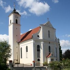
St. Martin (Heimertingen)
153 m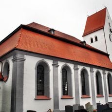
St. Martin (Memmingen-Steinheim)
2.9 km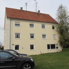
Synagoge Fellheim
3.2 km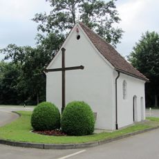
Riedkapelle (Unteropfingen)
2.8 km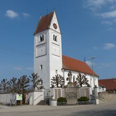
St. Georg (Niederrieden)
3.1 km
Jüdische Schule (Fellheim)
3.1 km
St. Urban
3.3 km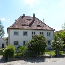
Pfarrhaus
3 km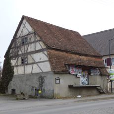
Fruchtspeicher Fellheim
3.5 km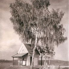
Ottilienkapelle
4.3 km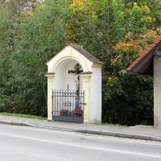
Wegkapelle
3.4 km
Illerauen nördlich von Buxheim
1.2 km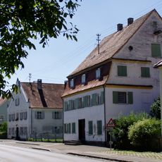
Ensemble ehemalige jüdische Siedlung
3.3 km
Hauptstraße 19, Niederrieden
3.1 km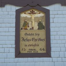
Flachrelief
3.1 km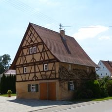
Hauptstraße 8, Niederrieden
2.9 km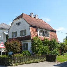
Kleinhaus
2.9 km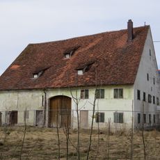
Ehemaliger Zehntstadel, jetzt Wohnhaus
2.9 km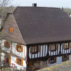
Ehemaliger Pfarrhof
168 m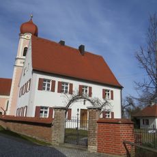
Ehemaliges Pfarrhaus
108 m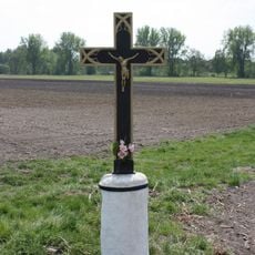
Sühnekreuz
3.7 km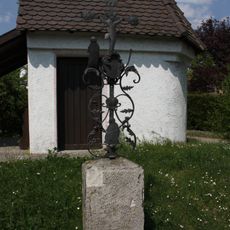
Wegkreuz des 18. Jahrhunderts
4.3 km
Wohnhaus
3.4 km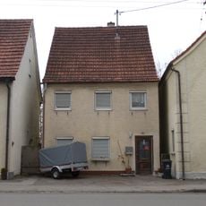
Ehemalige jüdische Metzgerei
3.3 km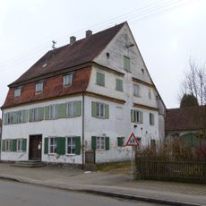
Wohnhaus
3.2 km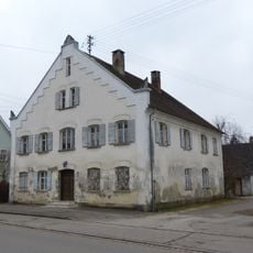
Sogenanntes Doktorhaus
3.1 kmVisited this place? Tap the stars to rate it and share your experience / photos with the community! Try now! You can cancel it anytime.
Discover hidden gems everywhere you go!
From secret cafés to breathtaking viewpoints, skip the crowded tourist spots and find places that match your style. Our app makes it easy with voice search, smart filtering, route optimization, and insider tips from travelers worldwide. Download now for the complete mobile experience.

A unique approach to discovering new places❞
— Le Figaro
All the places worth exploring❞
— France Info
A tailor-made excursion in just a few clicks❞
— 20 Minutes