
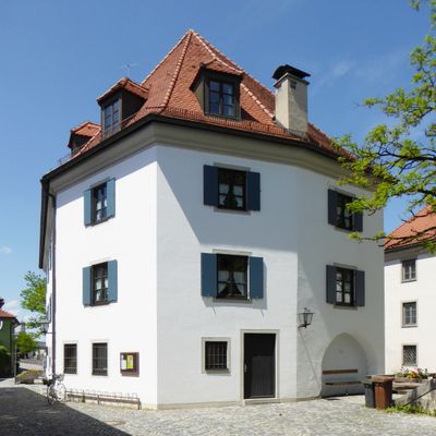
Obere Stadt 66, dreigeschossiger Putzbau mit Walmdach und profiliertem Traufgesims, im Kern 18. Jahrhundert
Location: Weilheim in Oberbayern
Address: Obere Stadt 66
GPS coordinates: 47.83808,11.14910
Latest update: March 14, 2025 16:50
Hofstraße 23
467 m
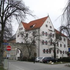
Ensemble Obere Stadt
288 m
Hofstraße
436 m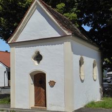
Wegkapelle Christus in der Rast, sog. Rastkapelle
110 m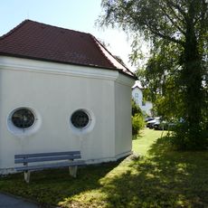
Kapelle zur Schmerzhaften Muttergottes am Anger
362 m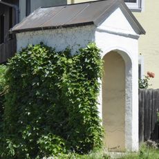
Wegkapelle
358 m
Stadtfriedhof
340 m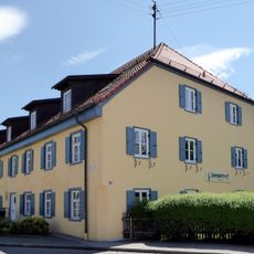
Bärenmühle
345 m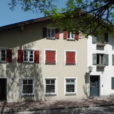
Wohnteil des ehemaligen Doppelwohnstallhauses, sog. Hammerl
49 m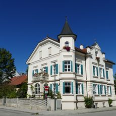
Villa
310 m
Admiral-Hipper-Straße 9
450 m
Admiral-Hipper-Straße 19
397 m
Ehemals Wohnstallhaus
234 m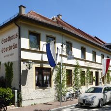
Gasthaus zum Oberbräu
175 m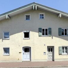
Ehemals Doppelbauernhaus
298 m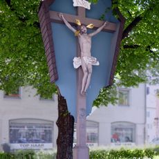
Kreuz am Rathausplatz
308 m
Rathausplatz 13
288 m
Admiral-Hipper-Straße 7
459 m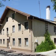
Ehemals Doppelbauernhaus
158 m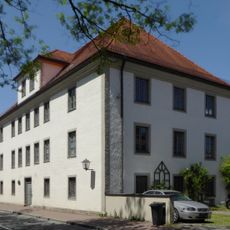
Ehemals Zehntkasten des Klosters Ettal, nach 1855 Bezirksamtsgebäude
26 m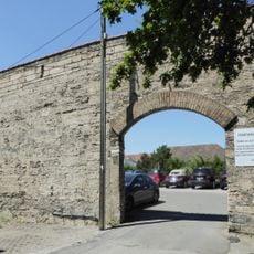
Stadtmauerabschnitt
391 m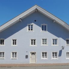
Ehemals Bauernhof
312 m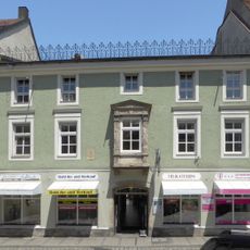
Admiral-Hipper-Straße 11
437 m
Pfarrhaus
426 m
Ehemals Wohnstallhaus, sog. Awarzer
87 m
Ehemals Wohnstallhaus, sog. Baumoaster
109 m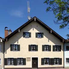
Ehemals Wohnstallhaus
265 m
Ehemals Doppelbauernhaus
254 mVisited this place? Tap the stars to rate it and share your experience / photos with the community! Try now! You can cancel it anytime.
Discover hidden gems everywhere you go!
From secret cafés to breathtaking viewpoints, skip the crowded tourist spots and find places that match your style. Our app makes it easy with voice search, smart filtering, route optimization, and insider tips from travelers worldwide. Download now for the complete mobile experience.

A unique approach to discovering new places❞
— Le Figaro
All the places worth exploring❞
— France Info
A tailor-made excursion in just a few clicks❞
— 20 Minutes