
Ehemaliges Bauernhaus, building in Ruhpolding, Upper Bavaria, Germany
Location: Ruhpolding
Address: Wiesen 3
GPS coordinates: 47.76868,12.64571
Latest update: June 10, 2025 20:10
Kloster Maria Eck
3.4 km
Vita Alpina
1.2 km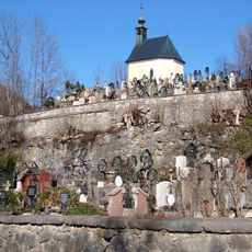
Friedhof Ruhpolding
736 m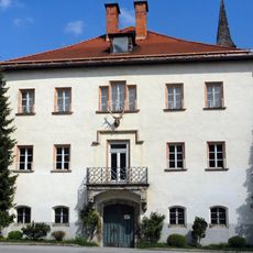
Jagdschloss Ruhpolding
464 m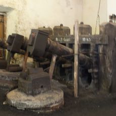
Glockenschmiede Ruhpolding
3.7 km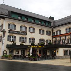
Hotel Zur Post
527 m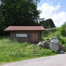
Extensivwiesen um Ruhpolding
895 m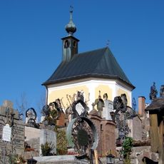
Friedhofskapelle
730 m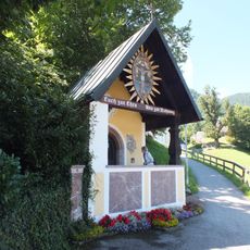
Kriegergedächtniskapelle
780 m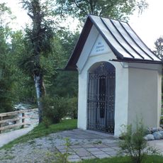
Johann-Nepomuk-Kapelle
978 m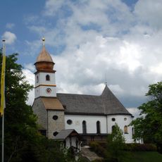
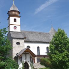
Wallfahrtskirche Maria Eck
3.5 km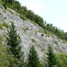
Steinbruch am Haßlberg bei Ruhpolding
2.5 km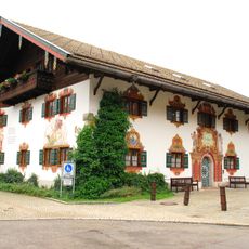
Rathaus Ruhpolding
676 m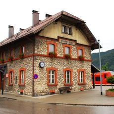
Bahnhof Ruhpolding
759 m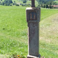
Bildstock
1.1 km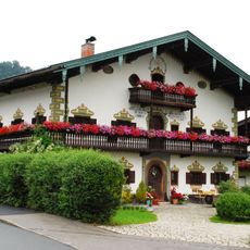
Bauernhaus
485 m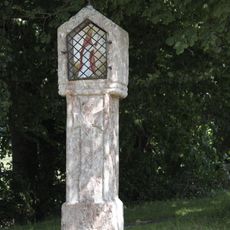
Wayside shrine of Saint Corbinian
791 m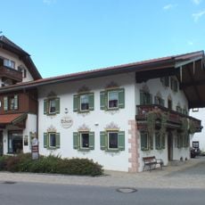
Hauptstraße 37
553 m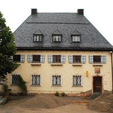
Bahnhofstraße 3
725 m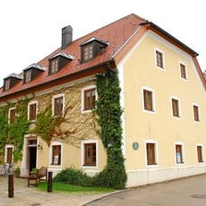
Rathausplatz 2
680 m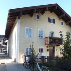
Altes Pfarrhaus
636 m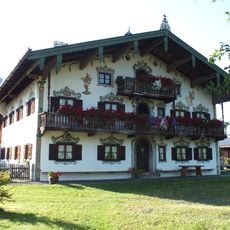
Bauernhaus
553 m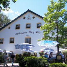
Klostergasthof
3.5 km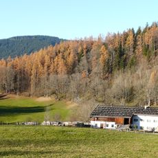
Bauernhaus
3.7 km
Gasthof ''Zur Post''
524 m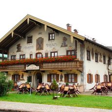
Hauptstraße 34
597 m
Hauptstraße 54
746 m
Wohnhaus
586 mReviews
Visited this place? Tap the stars to rate it and share your experience / photos with the community! Try now! You can cancel it anytime.
Discover hidden gems everywhere you go!
From secret cafés to breathtaking viewpoints, skip the crowded tourist spots and find places that match your style. Our app makes it easy with voice search, smart filtering, route optimization, and insider tips from travelers worldwide. Download now for the complete mobile experience.

A unique approach to discovering new places❞
— Le Figaro
All the places worth exploring❞
— France Info
A tailor-made excursion in just a few clicks❞
— 20 Minutes