
Ehem. Bauernhaus, building in Wiesenfelden, Lower Bavaria, Germany
Location: Wiesenfelden
Address: Sankt Rupert 2
GPS coordinates: 49.03424,12.53218
Latest update: March 9, 2025 10:27
Burg Falkenfels
5.5 km
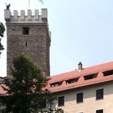
Wiesenfelden Castle
1 km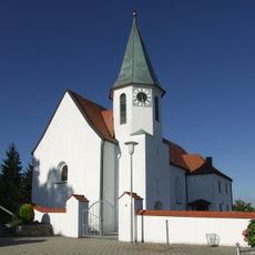
St. Ursula (Pilgramsberg)
5.9 km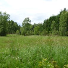
Brandmoos
950 m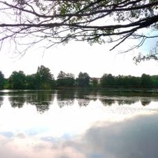
Weiherlandschaft bei Wiesenfelden
1.7 km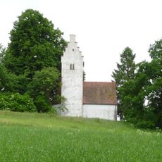
Katholische Filialkirche St. Rupertus
22 m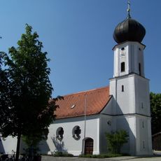
Mariä Schnee
5.4 km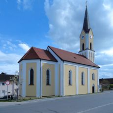
St. Michael
5.9 km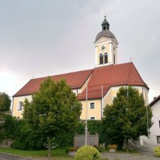
Mariä Himmelfahrt
931 m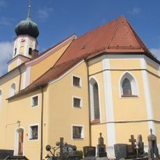
Katholische Pfarrkirche St. Valentin
6 km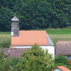
Katholische Filialkirche St. Nikolaus
5.4 km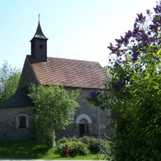
Katholische Filialkirche St. Jakob
6.3 km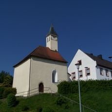
Katholische Filialkirche St. Peter und Paul
6.7 km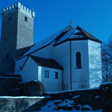
Schlosskapelle St. Joseph
5.5 km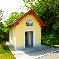
Wegkapelle St. Maria
4.7 km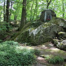
Grotte bei Wiesenfelden
868 m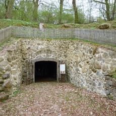
Felsenkeller
916 m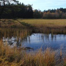
Brandmoos und Hauerin
1.4 km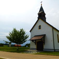
Nebenkirche
4.9 km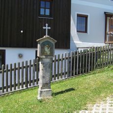
Kreuzweg
5.8 km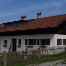
Waldlerhaus
6 km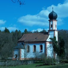
Filialkirche
6.6 km
Kleinhaus
1 km
Bauernhaus mit Blockbau-Obergeschoss und Steilsatteldach
3.5 km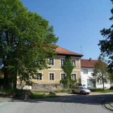
Ehemaliges Gerichtshalterhaus
929 m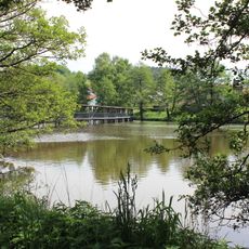
Weiher bei Wiesenfelden
948 m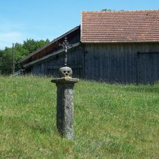
Pfeiler
5.1 km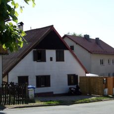
Wohnhaus mit Mansarddach
909 mReviews
Visited this place? Tap the stars to rate it and share your experience / photos with the community! Try now! You can cancel it anytime.
Discover hidden gems everywhere you go!
From secret cafés to breathtaking viewpoints, skip the crowded tourist spots and find places that match your style. Our app makes it easy with voice search, smart filtering, route optimization, and insider tips from travelers worldwide. Download now for the complete mobile experience.

A unique approach to discovering new places❞
— Le Figaro
All the places worth exploring❞
— France Info
A tailor-made excursion in just a few clicks❞
— 20 Minutes