
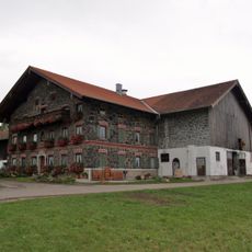
, wohnteil des ehemaligen Bauernhauses, mit Blockbau-Obergeschoss, Giebelbundwerk und umlaufender Bretterlaube, Ende 18. Jahrhundert
Location: Kirchanschöring
Address: Dürnberg 6
GPS coordinates: 47.95582,12.81401
Latest update: April 20, 2025 05:26
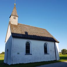
Kapelle Maria Loreto
1.6 km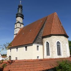
St. Ägidius
1.8 km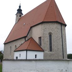
Maria Himmelfahrt
4.4 km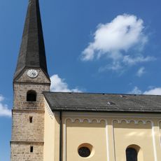
St. Michael (Kirchanschöring)
1.6 km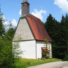
St. Kolomann in der Lebenau
3.8 km
Pfarrhaus
4.8 km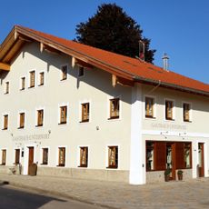
Gasthaus Unterwirt
4.8 km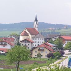
St. Florian
4.4 km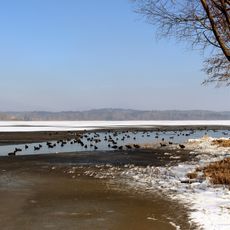
Schutz des Waginger und Tachinger Sees und der umliegenden Landschaft
3.5 km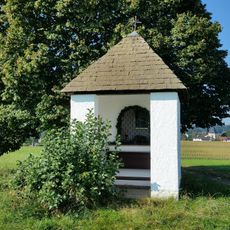
Feldkapelle
4.8 km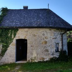
Lourdes-Kapelle
4.8 km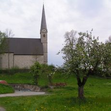
St. Johannes der Täufer und Johannes Evangelist
4.3 km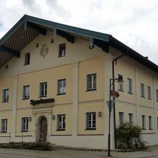
Ehemaliges Kleinbauernhaus
4.8 km
Kirchhof 5
4.5 km
Kirchplatz 4
1.6 km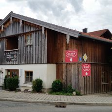
Kirchplatz 7
1.6 km
Hauptstraße 48
4.7 km
Kirchhof 1
4.5 km
Ensemble Weiler Kirchhof
4.4 km
Ehemaliges Bauernhaus
4.6 km
Seestraße 27
4.6 km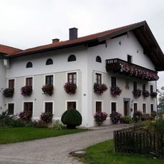
Quer angebauter Bundwerkstadel
4.7 km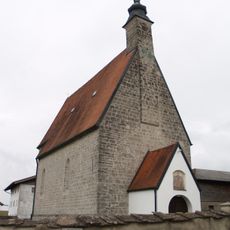
Kirchhofmauer
4.4 km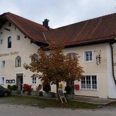
Gasthaus, ehemals Unterwirt
4.9 km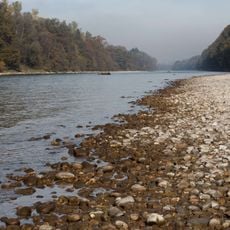
Irlacher Au
4.8 kmReviews
Visited this place? Tap the stars to rate it and share your experience / photos with the community! Try now! You can cancel it anytime.
Discover hidden gems everywhere you go!
From secret cafés to breathtaking viewpoints, skip the crowded tourist spots and find places that match your style. Our app makes it easy with voice search, smart filtering, route optimization, and insider tips from travelers worldwide. Download now for the complete mobile experience.

A unique approach to discovering new places❞
— Le Figaro
All the places worth exploring❞
— France Info
A tailor-made excursion in just a few clicks❞
— 20 Minutes