
, pestkreuz, Rotmarmor, bezeichnet mit dem Jahr 1634; neben einem Stadel am Hang unterhalb von Haus Nr. 10
Location: Unterwössen
Address: Agg
GPS coordinates: 47.74681,12.46871
Latest update: June 13, 2025 01:15
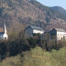
Burg Marquartstein
1.1 km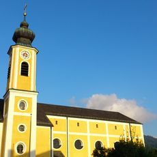
Katholische Pfarrkirche St. Martin
1.3 km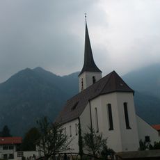
Heilig Blut
1.4 km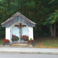
Kreuzkapelle
940 m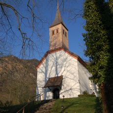
Schlosskapelle St. Bartholomäus und St. Vitus
1.1 km
Angebaute Muttergotteskapelle
1.1 km
Martinikapelle
1.1 km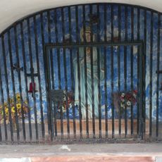
Muttergotteskapelle
1 km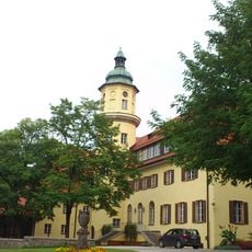
Neues Schloss
663 m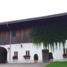
Grenzmühle
814 m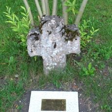
Pestkreuz
593 m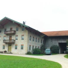
Bauernhaus
605 m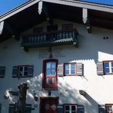
Bauernhaus
1.4 km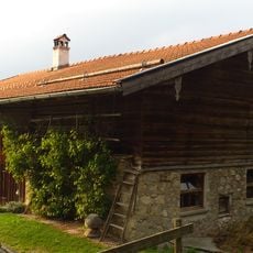
Kleinbauernhaus
929 m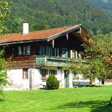
Bauernhaus
1.3 km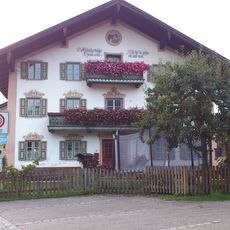
Bauernhaus
1.5 km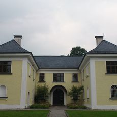
Forstamt Marquartstein
1.4 km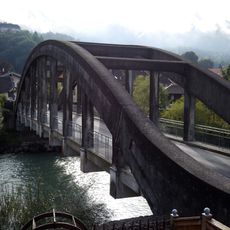
Brücke über die Tiroler Ache (Marquartstein)
1.2 km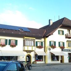
Wohn- und Geschäftshaus
1.5 km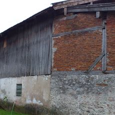
Zuhaus
1.4 km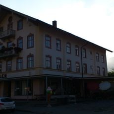
Wohn- und Geschäftshaus
1.3 km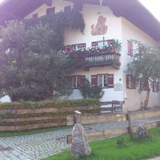
Bauernhaus
1.4 km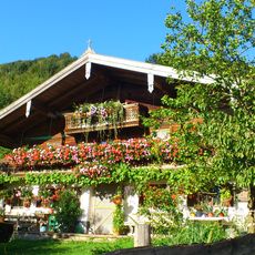
Bauernhaus
1.4 km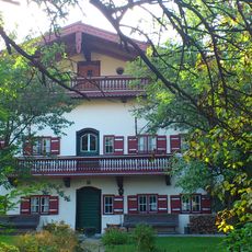
Wohnhaus
1.3 km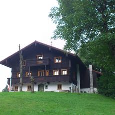
Bauernhaus in Entlehen
1.1 km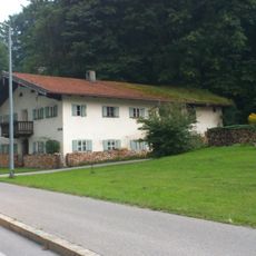
Kleinanwesen
1.2 km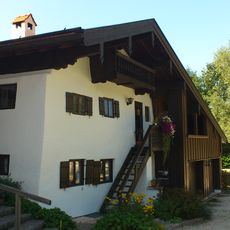
Kleinhaus in Wuhrbichl
700 m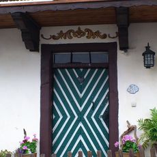
Aufgedoppelte Haustür
1.1 kmReviews
Visited this place? Tap the stars to rate it and share your experience / photos with the community! Try now! You can cancel it anytime.
Discover hidden gems everywhere you go!
From secret cafés to breathtaking viewpoints, skip the crowded tourist spots and find places that match your style. Our app makes it easy with voice search, smart filtering, route optimization, and insider tips from travelers worldwide. Download now for the complete mobile experience.

A unique approach to discovering new places❞
— Le Figaro
All the places worth exploring❞
— France Info
A tailor-made excursion in just a few clicks❞
— 20 Minutes