
Wappentafel, am sog. Herrenhaus Wappentafel des Klosters Seeon, bez. 1769
Location: Obing
Address: Kienberger Straße 12
GPS coordinates: 48.00176,12.40787
Latest update: May 24, 2025 09:34
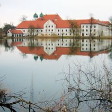
Seeon Abbey
4.2 km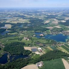
Seeon Lakes
4.3 km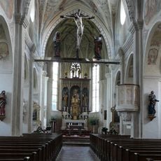
St. Lambert
4.2 km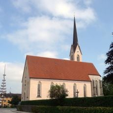
St. Laurentius
36 m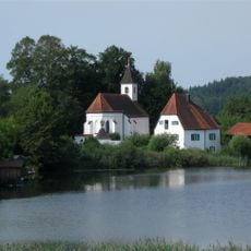
St. Walburgis
4.1 km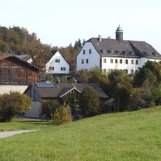
Schloss Oberbrunn
4.2 km
Schloss Obing
206 m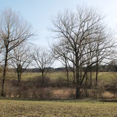
Toteisloch bei Klosterseeon
4.2 km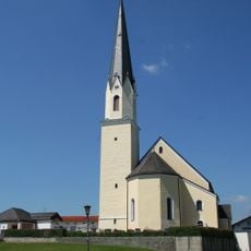
St. Nikolaus
3 km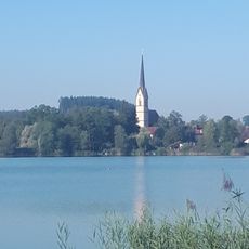
Schwimmbad Obing
884 m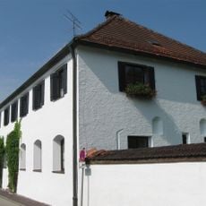
Pfarrhof
4.1 km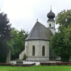
Kirche St. Maria
4.3 km
Wallfahrtskirche Unserer Lieben Frau
4.3 km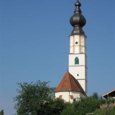
St. Jakobus der Ältere
3.5 km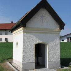
Kapelle
2 km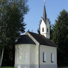
Ortskapelle
2.2 km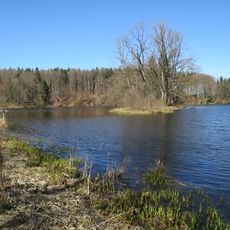
Seeoner Seen
3.1 km
Apothekerhaus
4.1 km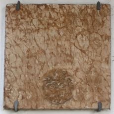
Ehemaliger Weinkeller
3.9 km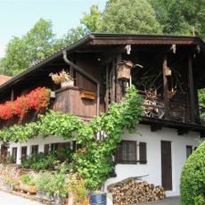
Weinbergstraße 86
3.9 km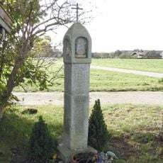
Martersäule aus Granit
4.1 km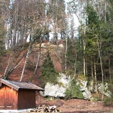
Schottermoräne 700 m NW von Oberbrunn
3.6 km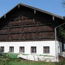
Meierhof
4.2 km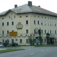
Ehemaliger Adelssitz
4 km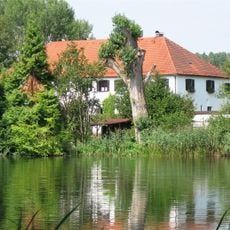
Gaststätte
4.2 km
Klosterbauten
4.2 km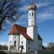
Wochenstuben der Wimperfledermaus im Chiemgau
2.8 km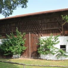
Bauernhaus
4.3 kmReviews
Visited this place? Tap the stars to rate it and share your experience / photos with the community! Try now! You can cancel it anytime.
Discover hidden gems everywhere you go!
From secret cafés to breathtaking viewpoints, skip the crowded tourist spots and find places that match your style. Our app makes it easy with voice search, smart filtering, route optimization, and insider tips from travelers worldwide. Download now for the complete mobile experience.

A unique approach to discovering new places❞
— Le Figaro
All the places worth exploring❞
— France Info
A tailor-made excursion in just a few clicks❞
— 20 Minutes