
Ehemaliger Gasthof, stattlicher dreigeschossiger Traufseitbau, nach 1851; rückwärtig quer anschließender gleichzeitiger Brauereiflügel, 1918-21 zum Saalbau umgestaltet
Location: Traunstein
Address: Scheibenstraße 6
GPS coordinates: 47.86963,12.65165
Latest update: May 30, 2025 23:41
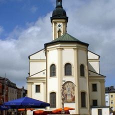
St. Oswald
295 m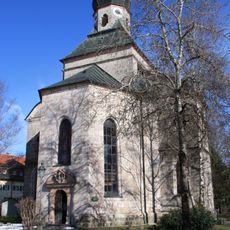
Salinenkapelle
334 m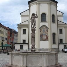
Lindlbrunnen
243 m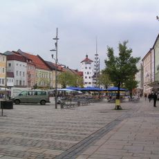
Ensemble Stadtplatz
218 m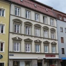
Schaumburgerstraße 1 Traunstein
331 m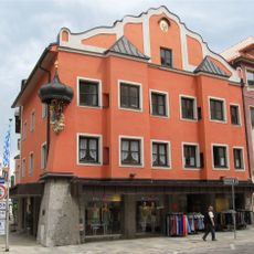
Stadtplatz 8 Traunstein
314 m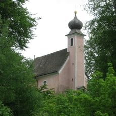
St. Salvator und Joseph
415 m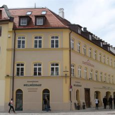
Ehemalige Höllbrauerei
266 m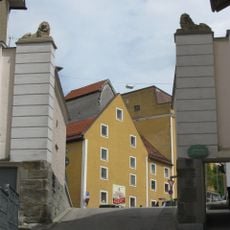
Aubergtor
211 m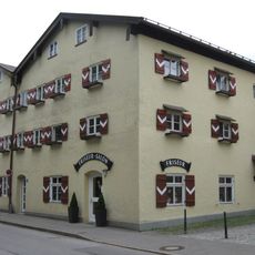
Maximiliani-Wilhelmi-Stock
386 m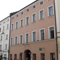
Stadtplatz 38
278 m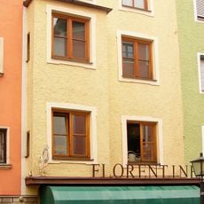
Schaumburgerstraße 7 Traunstein
329 m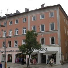
Wohn- und Geschäftshaus
245 m
Stadtplatz 12
281 m
Stadtplatz 20
192 m
Stadtplatz 7
340 m
Brothausturm
357 m
Schaumburgerstraße 15 Traunstein
328 m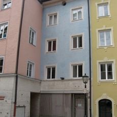
Stadtplatz 6
336 m
Stadtplatz 5
335 m
Rückgebäude der ehemaligen Brauerei
186 m
Bürgerhaus
328 m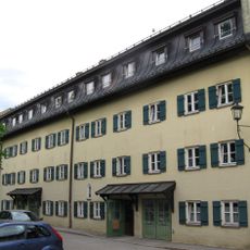
Marienstock
297 m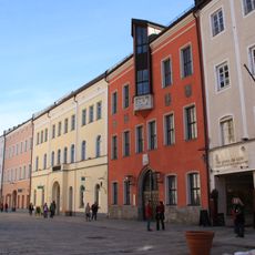
Rathaus
318 m
Taubenmarkt 5 Traunstein
293 m
Taubenmarkt 7 Traunstein
284 m
Hinter der Veste 4
175 m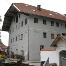
Reviews
Visited this place? Tap the stars to rate it and share your experience / photos with the community! Try now! You can cancel it anytime.
Discover hidden gems everywhere you go!
From secret cafés to breathtaking viewpoints, skip the crowded tourist spots and find places that match your style. Our app makes it easy with voice search, smart filtering, route optimization, and insider tips from travelers worldwide. Download now for the complete mobile experience.

A unique approach to discovering new places❞
— Le Figaro
All the places worth exploring❞
— France Info
A tailor-made excursion in just a few clicks❞
— 20 Minutes