
St. Sebastian, kapelle im ehemaligen Pestfriedhof, 1891 erbaut; nördlich der Stadt auf der Angerwiese
Location: Tittmoning
Address: Gerberberg
GPS coordinates: 48.06601,12.76518
Latest update: March 31, 2025 02:29
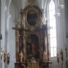
St. Laurentius
371 m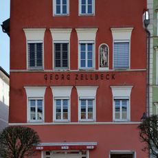
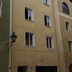
Stadtplatz 4a, 4b
451 m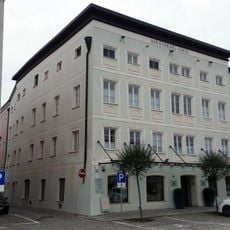
Stadtplatz 40
439 m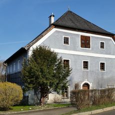
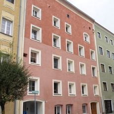
Wasservorstadt 26
240 m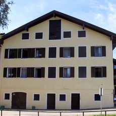
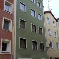
Wasservorstadt 22
280 m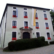
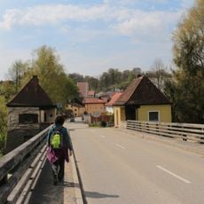
Salzachbrücke Tittmoning-Ettenau
383 m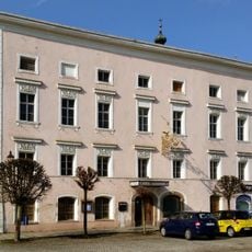
Stadtplatz 42
401 m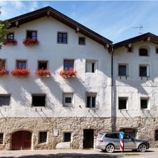
Wohnhaus
314 m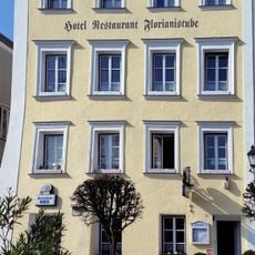
Stadtplatz 44
372 m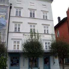
Stadtplatz 3
437 m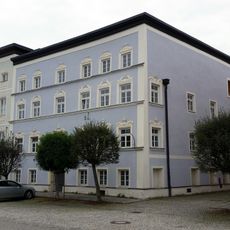
Stadtplatz 41
425 m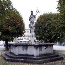
Florianbrunnen (Tittmoning)
393 m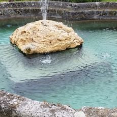
Pferdeschwemme
418 m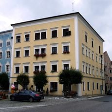
Stadtplatz 48
318 m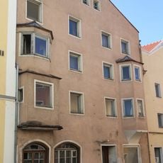
Stadtplatz 49
301 m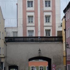
Burghauser Tor
278 m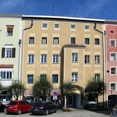
Stadtplatz 56
314 m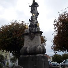
Immaculata-Säule
442 m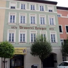
Stadtplatz 60
370 m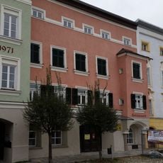
Stadtplatz 61
382 m
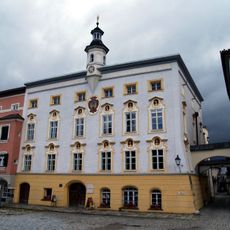
Rathaus
397 m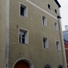
Reviews
Visited this place? Tap the stars to rate it and share your experience / photos with the community! Try now! You can cancel it anytime.
Discover hidden gems everywhere you go!
From secret cafés to breathtaking viewpoints, skip the crowded tourist spots and find places that match your style. Our app makes it easy with voice search, smart filtering, route optimization, and insider tips from travelers worldwide. Download now for the complete mobile experience.

A unique approach to discovering new places❞
— Le Figaro
All the places worth exploring❞
— France Info
A tailor-made excursion in just a few clicks❞
— 20 Minutes