
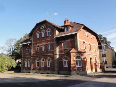
Schlachthof Straubing, um einen Hof geordnete Anlage, Sichtziegelgebäude, 1898/99 von Stadtbaumeister Kaspar Mahkorn
Location: Straubing
Address: Heerstraße 35;Heerstraße 35a
GPS coordinates: 48.88173,12.58162
Latest update: March 9, 2025 10:12
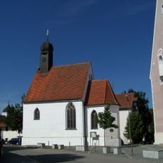
Krönungskapelle Straubing
377 m
NAWAREUM
256 m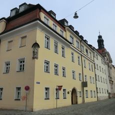
St Ursula
656 m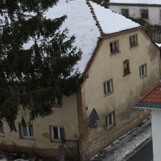
Wohnhaus, ehemals zum Kloster gehörig
309 m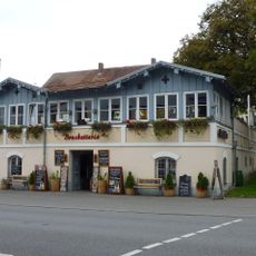
Ludwigsplatz 44
624 m
Mietshaus
639 m
Wasserturm
461 m
Stetthaimerplatz Totenleuchte
519 m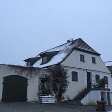
Bauernhaus
423 m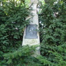
Schiller-Denkmal
657 m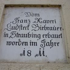
Inschrifttafel
480 m
Innere Passauer Straße 1, Jakob-Sandner-Schule
502 m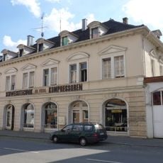
Wohn- und Geschäftshaus
335 m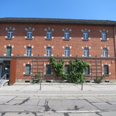
Bahnhofplatz 15
635 m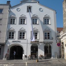
Ludwigsplatz 45
623 m
Grundschule St. Peter
242 m
Ludwigsplatz 40
659 m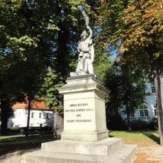
Denkmal am Stetthaimerplatz
548 m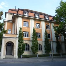
Wohn- und Geschäftshaus
628 m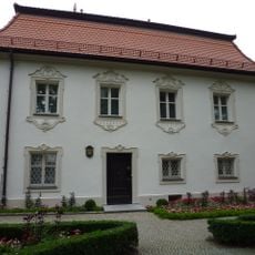
Stetthaimerplatz 1
527 m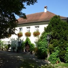
Pfarrhof von St. Peter
623 m
Ludwigsplatz 42
640 m
Innere Passauer Straße 4 (Straubing)
510 m
Wohnhaus
648 m
Mietshaus
652 m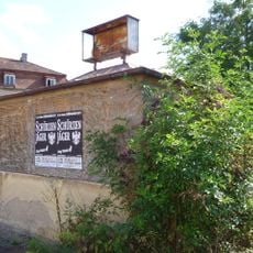
Ehemalige städtische Lastfahrzeugwaage
465 m
Heerstraße 24
149 m
Mühlsteingasse 24
398 mReviews
Visited this place? Tap the stars to rate it and share your experience / photos with the community! Try now! You can cancel it anytime.
Discover hidden gems everywhere you go!
From secret cafés to breathtaking viewpoints, skip the crowded tourist spots and find places that match your style. Our app makes it easy with voice search, smart filtering, route optimization, and insider tips from travelers worldwide. Download now for the complete mobile experience.

A unique approach to discovering new places❞
— Le Figaro
All the places worth exploring❞
— France Info
A tailor-made excursion in just a few clicks❞
— 20 Minutes