
Ehem. Exerzierhalle, der 1853-1863 errichteten und 1965 abgebrochenen Max II.-, später Schwere-Reiter-Kaserne, romanisierender Klinkerbau mit 3 zu 10 Achsen, Satteldachhalle mit offenem Stuhl aus Polonceau-Bindern
Location: Landshut
Address: Friedhofstraße 6
GPS coordinates: 48.54079,12.15974
Latest update: March 7, 2025 21:40

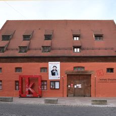
Kleines theater – Kammerspiele Landshut
411 m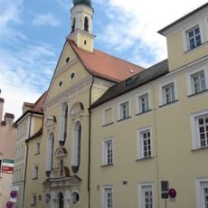
St. Joseph
483 m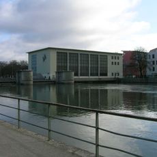
Maxwehr Landshut
390 m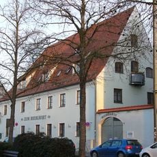
Gasthaus zum Riebelwirt
453 m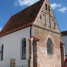
Rochuskapelle (Landshut)
429 m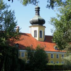
Magdalenenheim in Landshut
214 m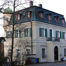
Landshut Schönbrunner Straße 15
452 m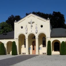
Hauptfriedhof (Landshut)
268 m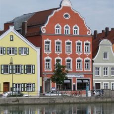
Ehem. Hacklberger Bierstüberl zum Maxwehr
459 m
Gestüt Landshut
307 m
Marienplatz 7
453 m
Marienplatz 11 (Landshut)
382 m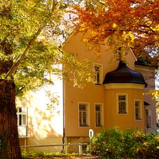
Gestütstraße 5a
257 m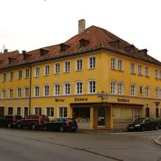
Wohn- und Geschäftshaus
481 m
St.-Jodoks-Stift
430 m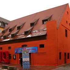
Ehem. Bräustadel
414 m
Wohnhaus
484 m
Regierung von Niederbayern
393 m
Wohnhaus
469 m
Ehemalige Tabakfabrik
366 m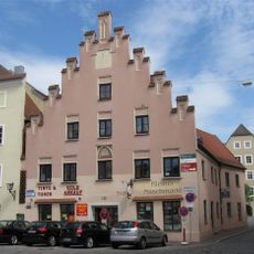
Wohn- und Geschäftshaus
481 m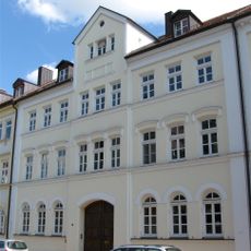
Wohnhauszeile
391 m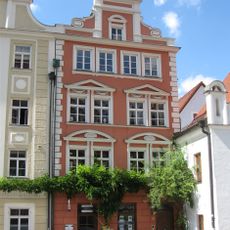
Wohnhaus
482 m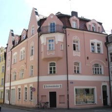
Wohnhaus
488 m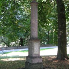
Gedenkstein
225 m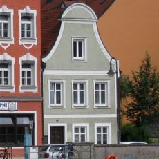
Wohnhaus
455 m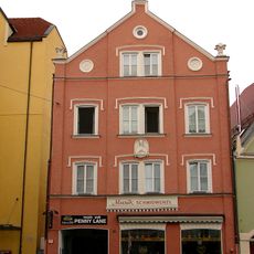
Heilig-Geist-Gasse 419 (Landshut)
476 m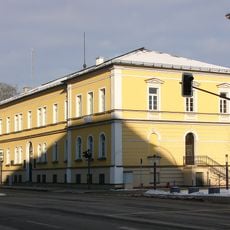
Verwaltungsbau
214 mReviews
Visited this place? Tap the stars to rate it and share your experience / photos with the community! Try now! You can cancel it anytime.
Discover hidden gems everywhere you go!
From secret cafés to breathtaking viewpoints, skip the crowded tourist spots and find places that match your style. Our app makes it easy with voice search, smart filtering, route optimization, and insider tips from travelers worldwide. Download now for the complete mobile experience.

A unique approach to discovering new places❞
— Le Figaro
All the places worth exploring❞
— France Info
A tailor-made excursion in just a few clicks❞
— 20 Minutes